Tyao River
| Tyao River Tiau River | |
|---|---|
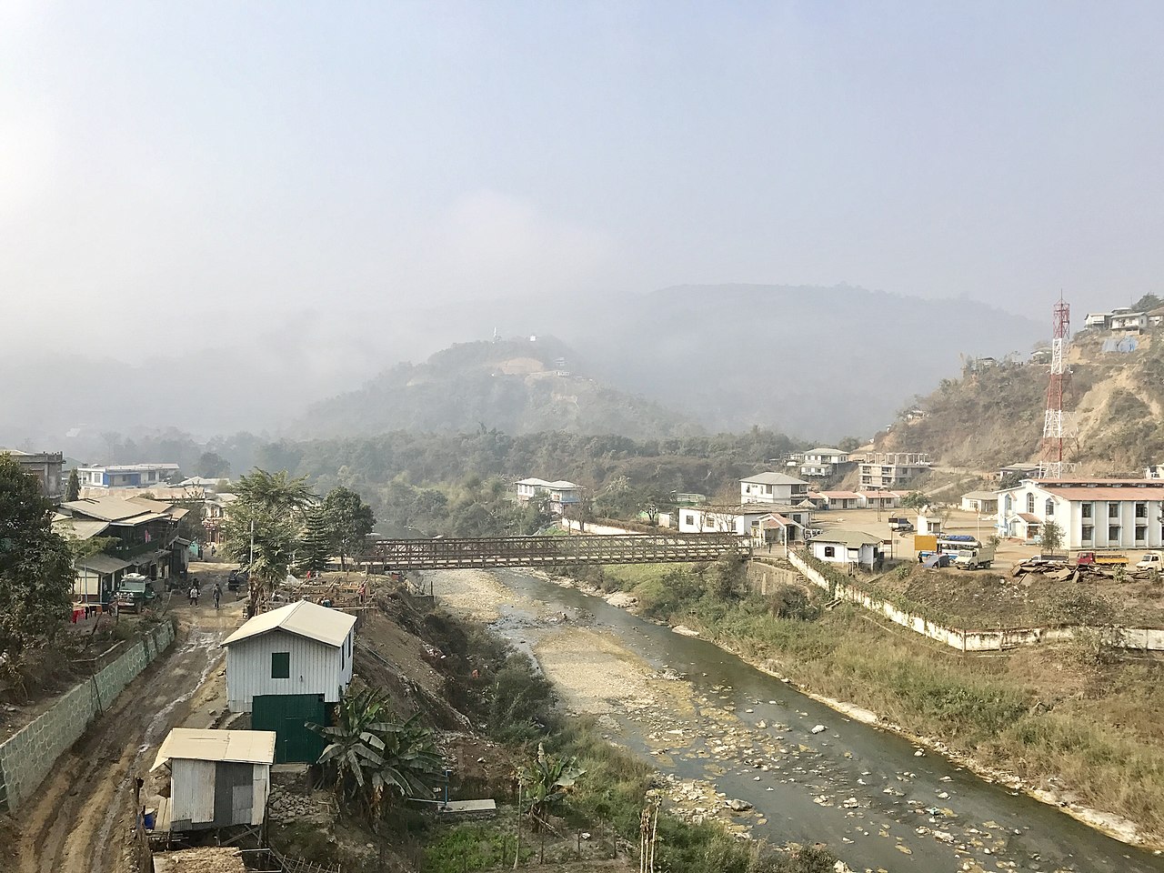 Bridge over the Tyao river between Rikhawdar and Zokhawthar | |
| Location | |
| Country | India, Myanmar |
| State | Mizoram, Chin State |
| District | Champhai, Falam |
| Physical characteristics | |
| Source | |
| • location | Khuangphah |
| • coordinates | 23°42′45″N 93°24′24″E / 23.7125°N 93.4066°E / 23.7125; 93.4066 |
| Mouth | |
• location | Kaladan River |
• coordinates | 22°47′10″N 93°05′45″E / 22.7861°N 93.0957°E / 22.7861; 93.0957 |
| Length | 159 km (99 mi) |
Tyao River[1] (or Tiau River,[2] Tio River) a 159 km (99 mi) long river that flows between the Mizoram state in India and the Chin State in Myanmar, forming part of the international boundary between the two countries.[2]
It rises near Khuangphah village of Champhai district in Mizoram, India. It ultimately merges with the Kaladan River (Chhimtuipui river).[2]
The twin towns of Zokhawthar in Mizoram and Rikhawdar in Chin State are on the banks of the river. There is an official border crossing between the two towns.[3]
References
- ^ Dhruv Sen Singh, ed. (2017), The Indian Rivers: Scientific and Socio-economic Aspects, Springer, p. 436, ISBN 978-981-10-2984-4
- ^ a b c Rintluanga Pachuau (1 January 2009). Mizoram: A Study in Comprehensive Geography. Northern Book Centre. p. 39. ISBN 978-81-7211-264-6.
- ^ Sharma, Yashraj (11 April 2024). "'We're a single village': India seals Myanmar border, dividing families". Al Jazeera.
External links
- Tyao River basin, OpenStreetMap, 7 November 2023.