India–Myanmar border

The India–Myanmar border is the international border between India and Myanmar (formerly Burma). The border is 1,643 kilometres (1,021 mi) in length and runs from the tripoint with China in the north to the tripoint with Bangladesh in the south.[1]
Background
Description
The trijunction between India, China and Myanmar is not yet agreed between the three nations. The de facto tripoint is located just north of the Diphu Pass.[2] From here the border proceeds to the south-west through the Mishmi Hills, except for an Indian protrusion at the Chaukan Pass, then continuing through the Patkai and Kassom Ranges. At the south-east corner of Manipur it turns sharply westwards along various rivers for a period over to the Tiau River. It then follows this river southwards for a long stretch down to the Chin Hills, before turning west and proceeding to the Bangladeshi tripoint via a series of irregular lines.[2]
History
The first formation of the Indo-Burmese border was through the First Anglo-Burmese War, which resulted in the Treaty of Yandabo in 1826.The Burmese relinquished control over Assam, Manipur, Rakhine (Arakan), and the Taninthayi coast, thereby delimiting much of the modern boundary in general terms.[3][4] In 1834 the Kabaw Valley areas was returned to Burma and a modified boundary delimited in this region, dubbed the 'Pemberton line' after a British commissioner, which was later refined in 1881.[2] In 1837 the Patkai Hills were unilaterally designated as the northern boundary.[2]
Large swathes of Burma were annexed to the British Empire following the Second Anglo-Burmese War of 1852–53.[2][5] The remainder of Burma was conquered in 1885 and incorporated into British India.[6][7][8]
In 1894 a boundary between Manipur and the Chin Hills (recognized as part of Burma) was delimited, and the existing 'Pemberton line' boundary modified again in 1896.[2] Further boundary modifications were made in 1901, 1921 and 1922.[2]
In 1937 Burma was split off from India and became a separate colony.[9] In 1947 India gained independence, however the country was partitioned into two states (India and Pakistan), with the southernmost section of the Burma-India border becoming that between Burma and East Pakistan (modern Bangladesh).[2] Burma gained independence in 1948.[2] On 10 March 1967 Burma and India signed a boundary treaty which delimited their common frontier in detail.[2] Security along the border has often been poor, owing to ongoing conflicts in north-east India and western Myanmar.[10]
Free movement regime
From the beginning, India and Burma (later known as Myanmar) operated a free movement regime (FMR) for the tribal communities living along their common border, recognizing that the communities have age-old economic and cultural ties.[11] The Burma Passport Rules of 1948 allowed indigenous populations of all the countries bordering Burma to travel to Burma without passports or permits, provided they lived within 40 km (25 mi) from the border. In 1950, India also amended its passport rules to allow the tribes people residing within 40 km around the border to travel to India and stay up to 72 hours.[12][13]
In 1968, following a variety of insurgencies in its northeastern states, India unilaterally introduced a permit system for travelling across the border.[14] This provision remained in place for the next 40 years.[12]
In 2004, following the growth of drug trafficking and arms smuggling, India reduced the travel limit to 16 km (9.9 mi) and allowed border crossing only through three designated points: Pangsau (Arunachal Pradesh), Moreh (Manipur) and Zokhawthar (Mizoram).[12]
Following further abuses of FMR, a formal agreement with Myanmar was proposed by India in 2014, and, after negotiations, an Agreement on Land Border Crossing was signed by the two countries on 11 May 2018.[12] As per the agreement, the residents of the two countries living within 16 km of the border are issued border passes, which they must carry at all times after crossing the border. They can stay on the other side for up to 14 days.[15][16]
In January 2024, amidst ongoing ethnic violence in Manipur, the Government of India signalled that it intends to terminate the free movement regime amid allegations from the Government of Manipur that it was facing problems of illegal immigration, drug peddling and arms smuggling.[17][18] The proposal was opposed by the Government of Mizoram,[19] and civil society organisations in Manipur and Nagaland.[20] Nevertheless, the Government of India suspended the FMR on February 8, 2024, pending negotiation with Myanmar on eventual termination.[21]
Barrier
The India–Myanmar barrier is a border barrier that India is constructing[when?] to seal its 1,624-kilometre (1,009 mi)-long border with Myanmar. India hopes to curtail cross-border crime, including goods, arms and counterfeit currency smuggling, drug trafficking,[22] and insurgency.[23] The United Nations Drug Control Programme (UNDCP) and International Narcotics Control Board (INCB) also warned that the region could become a significant transit point for illicit drugs .[24] Indian security forces blamed the porous border for the deaths of 200 security personnel and civilians in militancy-related violence in the region in 2001–2003.[25] Four Northeast Indian states share the border with Myanmar: Arunachal Pradesh, Nagaland, Mizoram, and Manipur. Both national governments agreed to conduct a joint survey before erecting the fence. The Indian Home Ministry and its Myanmar counterpart completed the study within six months and, in March 2003 began erecting a fence along the border.[26]
In 2004, fencing work in the state of Manipur along the border was stalled due to protests raised by the local Kuki and Naga communities. According to them, a huge stretch of land would become Myanmar's territory and foster unrest among people living on both sides of the border. The protests from people living in the Moreh, Chorokhunou, and Molchan areas forced the Home Ministry to refer the matter to the Manipur government.[26] This fence will divide many ethnic communities, including the Mizo, Nagas, Chins, and Kukis whose lands straddle the regions between the two states- it is thus a highly sensitive issue.[24] In 2007 it was reported that in the state of Manipur, a boundary dispute arose with ownership of nine border pillars being disputed.[27]
The Indo-Myanmar Border Force (IMBF) is a proposed and soon-to-be-composed[when?] force of 29 battalions - 25 battalions from Assam Rifles and 4 battalions from Indo-Tibetan Border Police - to guard the 1,643-kilometre (1,021 mi) long Indo-Myanmar border. IMBF will remain under ITBP and will patrol the border to the zero line (as of January 2018).[28]
Border bazaars
See Haats on India-Myanmar border.
Border crossings
Designated immigration and customs crossings
- Moreh, India to Tamu, Myanmar in Manipur.[29][30]
- Zorinpui International border crossing in Mizoram.[31]
Other local border crossings
The India–Myanmar border had a Free Movement Regime (FMR) which allows tribes living along the border to travel 16 km (9.9 mi) across either side of the border without visa restrictions.[32] There are over 250 villages with over 300,000 people living within 10 kilometres (6.2 mi) of the border who used to frequently cross the border through 150 small and large formal and informal border crossings[33] before the Government of India suspended the FMR.[21]
Arunachal Pradesh State
- Diphu Pass to Myanmar in Arunachal Pradesh.
- Nampong to Pangsau Pass near Lake of No Return on Myanmar side, via National Highway 153 (India) (Ledo Road which is part of Stilwell Road)
Manipur State
- Behiang to Khenman via Tedim Road.[34]
- Moreh to Tamu has an integrated immigration check post with customs.
Mizoram State
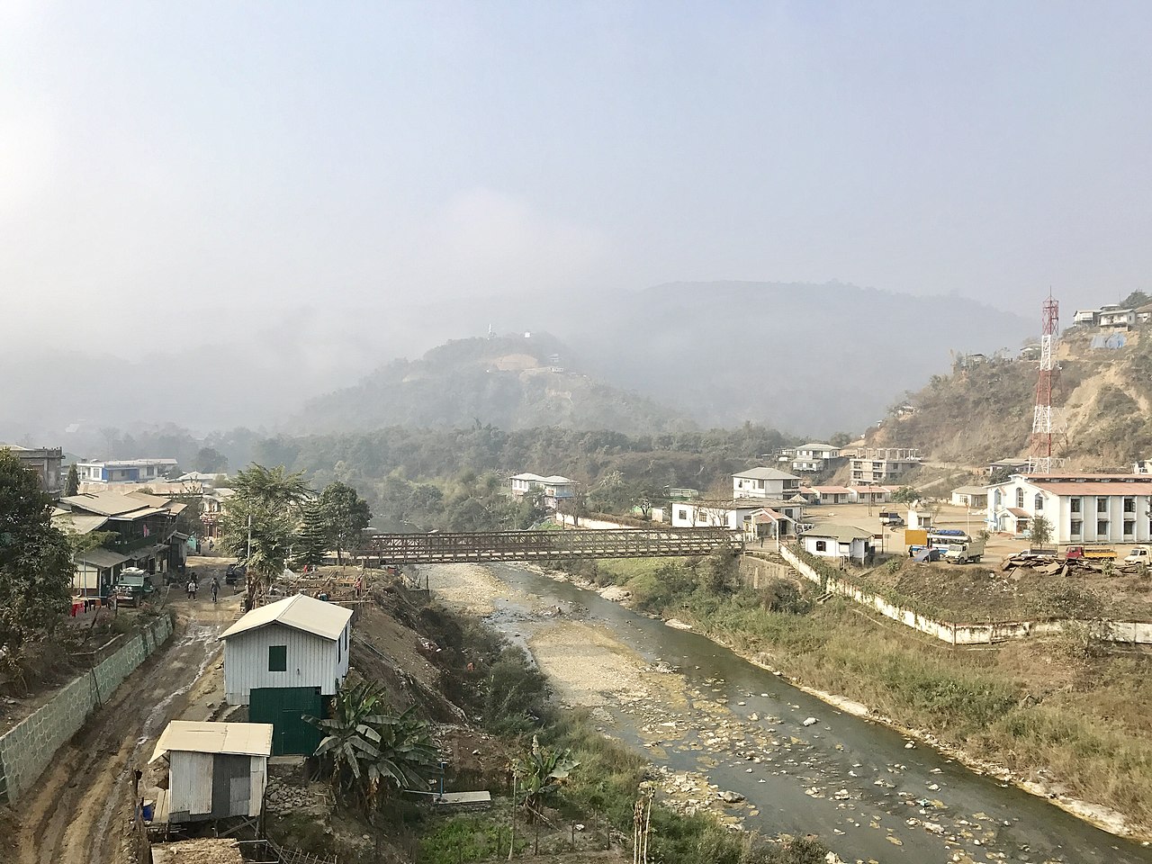
- Zorinpui, on Kaladan Multi-Modal Transit Transport Project, is 287 km (178 mi) away from Sittwe Port and 90 km (56 mi) from Aizawl-Saiha National Highway (National Highway 54 (India) (NH-54)) at Lawngtlai in Mizoram. NH-54 continues further to Dabaka in Assam via the 850 km (530 mi) long NH-54. NH-54 is part of the larger East-West Corridor connecting North East India with the rest of India.[35] It is a designated customs and immigration post, open to all categories of international travellers with valid travel document and visa.[31]
- Zokhawthar to Khawmawi and Rikhawdar via the bridge over the Harhva river.
Maritime boundaries
India and Myanmar have maritime exclusive economic zones in each other's vicinity. Landfall Island, India's northernmost Island in Andaman and Nicobar is 40 kilometres (25 mi) south of Coco Islands belonging to Myanmar.[36]
See also
References
- ^ "Burma". CIA World Factbook. Archived from the original on 10 February 2021. Retrieved 17 September 2020.
- ^ a b c d e f g h i j "International Boundary Study No. 80 Burma – India Boundary" (PDF). US Department of State. 15 May 1968. Archived (PDF) from the original on 31 January 2020. Retrieved 22 September 2020.
- ^ Lt. Gen. Sir Arthur P. Phayre (1967). History of Burma (2 ed.). London: Sunil Gupta. p. 237.
- ^ Thant Myint-U (2001). The Making of Modern Burma. Cambridge University Press. p. 20. ISBN 978-0-521-79914-0.
- ^ D.G.E.Hall (1960). Burma (PDF). Hutchinson University Library. pp. 109–113. Archived from the original (PDF) on 2005-05-19.
- ^ The Victorians at war, 1815-1914: an encyclopedia of British military history. p. 70.
- ^ Thant Myint-U (2001). The Making of Modern Burma. Cambridge University Press. pp. 18. ISBN 0-521-79914-7.
- ^ Webster, Anthony (1998). Gentlemen Capitalists: British Imperialism in South East Asia, 1770–1890. I.B.Tauris. pp. 142–145. ISBN 978-1-86064-171-8.
- ^ Sword For Pen, TIME Magazine, 12 April 1937
- ^ Das, Pushpita (15 November 2013). "India-Myanmar Border Problems: Fencing not the only solution". IDSA. Archived from the original on 1 October 2020. Retrieved 22 September 2020.
- ^ Das, Singh & Thomas, Indo-Myanmar Border Trade (2005), p. 45: "Though there was no bilateral agreement between India and Myanmar on the regulation of movement of local tribals, there was, however, a tacit understanding that there would be no restriction on such movements, which have continued since time immemorial owing to close economic and cultural ties among the tribals of the area. This tacit understanding between the two governments is reflected in the reciprocal notifications issued during 1948-50 amending their respective Passport Rules so as to provide for and accommodate the continuance of the traditional practice regarding travel across the border of indigenous tribals in either country up to 25 miles (40 km) in the other country.".
- ^ a b c d Das, Pushpita (2022), India's Approach to Border Management: From Barriers to Bridges, Taylor & Francis, p. xviii, ISBN 9781000833713
- ^ Pushpita Das, Free Movement Regime: A Unique Feature of the India-Myanmar Border, Manohar Parrikar Institute for Defence Studies and Analyses, 17 January 2024. "Accordingly, on 26 September 1950, the Ministry of Home Affairs (MHA) published the Notification no. 4/15/50-F.I amending the Passport (Entry into India) Rules of 1950 whereby the ‘hill tribes, who is either a citizen of India or the Union of Burma and who is ordinarily a resident in any area within 40 km (25 miles) on either side of the India-Burma frontier’ were exempted from the carrying passport or visa while entering into India."
- ^ Das, Singh & Thomas, Indo-Myanmar Border Trade (2005), pp. 45–46: "Tribals from both sides enjoyed this exemption until June 1968 when the Government of India through a Notification unilaterally introduced a permit system to regulate their movement with a view to prevent entry of undesirable elements and checking insurgent activity. The system of permits (which is still in vogue) stipulated that Indian and Myanmar tribals would have to carry permits for travelling across the border and that these would be granted liberally to persons who are required to travel frequently in pursuit of their normal vocation and for other bonafide purposes.".
- ^ Vijaita Singh, Myanmar puts off border pact with India, The Hindu, 4 March 2018.
- ^ AR lecture on Free Movement Regime, Nagaland Post, 27 January 2019.
- ^ Singh, Vijaita (Jan 2, 2024). "Free Movement Regime to end at Myanmar border". The Hindu. ISSN 0971-751X. Retrieved Feb 4, 2024.
- ^ Harsh V. Pant, Sreeparna Banerjee, Fencing frontiers with Myanmar: The benefits and challenges of FMR along India-Myanmar border, Observer Research Foundation, 8 January 2024.
- ^ "Mizoram CM Says Center's Move To Fence Indo-Myanmar Border 'not Acceptable'". Ukhrul Times. Jan 4, 2024. Retrieved Feb 4, 2024.
- ^ Baruah, Sukrita (Jan 16, 2024). "States, civil society restive as Centre plans to scrap Free Movement Regime with Myanmar". The Indian Express. Retrieved Feb 2, 2024.
- ^ a b Singh, Vijaita (2024-02-08). "India suspends Free Movement Regime with Myanmar". The Hindu. ISSN 0971-751X. Retrieved 2024-02-09.
- ^ "Challenges To India's National Security: The Illicit Flow Of Drugs From Myanmar To India-Pre And Post Myanmar Coup Of 2021 – CENJOWS". cenjows.in. Retrieved 2024-02-11.
- ^ "India-Myanmar border: Escalating human trafficking concerns". orfonline.org. Retrieved 2024-02-11.
- ^ a b Bhonsle, Col. Rahul K. (July 28, 2007). "India's 'Look Myanmar' Policy". Boloji.com. Archived from the original on July 28, 2012. Retrieved 2007-10-10.
- ^ "India, Burma to fence the border". Mizzima News. May 17, 2003. Archived from the original on January 29, 2013. Retrieved 2007-10-10.
- ^ a b Khaund, Surajit (15 October 2004). "India-Burma border fencing delays due to protest by local communities". Burma News International. Archived from the original on 2018-12-25. Retrieved 2007-10-10.
- ^ "New effort: India-Myanmar to begin talks". Times of India. September 2, 2007. Archived from the original on 2018-12-25. Retrieved 2007-10-10.
- ^ Home ministry looks to form 29-battalion Indo-Myanmar border force Archived 2020-11-09 at the Wayback Machine, Hindustan Times, 18 Jan 2018.
- ^ "India Myanmar Borders". Myanmar Tours. Archived from the original on 1 October 2020. Retrieved 22 September 2020.
- ^ "Travel from India to Myanmar by Road- Detailed Guide on Border Crossing". The Vagabong. 30 April 2020. Archived from the original on 28 October 2020. Retrieved 22 September 2020.
- ^ a b India opens two border crossing points with Myanmar, Bangladesh Archived 2019-03-03 at the Wayback Machine, Indian Express, 1 Oct 2017.
- ^ "India-Myanmar Border Problems: Fencing not the only solution - Institute for Defence Studies and Analyses". www.idsa.in. Archived from the original on 2020-10-01. Retrieved 2020-09-22.
- ^ "Northeast India | Straddling Different Boundaries". The Statesman. Archived from the original on 2016-09-24. Retrieved 2020-09-22.
- ^ "Tedim Road—The Strategic Road on a Frontier: A Historical Analysis - Institute for Defence Studies and Analyses". www.idsa.in. Archived from the original on 2020-08-26. Retrieved 2020-09-22.
- ^ "Multi-modal route map". Archived from the original on 2017-08-22. Retrieved 2017-12-12.
- ^ "Andaman and Nicobar Command – Google Search". www.google.com. Retrieved 27 December 2017.
Bibliography
- Gurudas Das; N. Bijoy Singh; C. Joshua Thomas, eds. (2005), Indo-Myanmar Border Trade: Status, Problems, and Potentials, Akansha Publishing House, ISBN 9788183700078
Borders of Myanmar | |
|---|---|
| |