Teram Kangri
| Teram Kangri | |
|---|---|
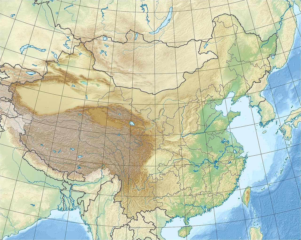
 Teram Kangri Location of the Teram Kangri within the greater Karakoram region  Teram Kangri Teram Kangri (Ladakh)  Teram Kangri Teram Kangri (Southern Xinjiang) | |
| Highest point | |
| Elevation | 7,462 m (24,482 ft)[1] Ranked 56th |
| Prominence | 1,702 m (5,584 ft)[1] |
| Listing | Ultra |
| Coordinates | 35°34′48″N 77°04′42″E / 35.58000°N 77.07833°E / 35.58000; 77.07833 |
| Geography | |
| Location | Ladakh, India, Xinjiang, China |
| Parent range | Siachen Muztagh (Karakoram) |
| Climbing | |
| First ascent | 1975 by K. Kodaka and Y. Kobayashi (Japanese) |
| Easiest route | glacier/snow/ice climb |

| Teram Kangri | |||
|---|---|---|---|
| Simplified Chinese | 特拉木坎力峰 | ||
| |||
The Teram Kangri group is a mountain massif in the remote Siachen Muztagh, a subrange of the Karakoram range. The high point of the group, and of the Siachen Muztagh, is Teram Kangri I. The peak lies on the boundary between disputed China controlled Trans-Karakoram Tract and the disputed Siachen Glacier section controlled by India. The northeast side of the peak is in Chinese-controlled territory, the southwest side is controlled by India.
Teram Kangri I was first climbed on August 10, 1975, by a Japanese expedition led by H. Katayama, which obtained a permit from the Government of Pakistan and made the long approach via Bilafond La (the Saltoro Pass). They climbed the SW ridge of Teram Kangri II and then took the East ridge to the top. Teram Kangri II was climbed on August 12 and 13 by six Japanese climbers.
Teram Kangri II (7,407 m) was climbed in 1978 by an Indian Army expedition led by Colonel Narendra Kumar in the first move by India to lay claim to the Siachen Glacier area.[2] Teram Kangri I has been climbed once since, in 1992. The expedition approached through Indian territory.
Teram Kangri III 35°35′59″N 77°02′53″E / 35.59972°N 77.04806°E / 35.59972; 77.04806 (7,382 m ranked 73rd, Prominence = 500 m) was first climbed in 1979 by a Japanese expedition led by S. Hanada. Their route crossed over Bilafond La, much like the first ascent of Teram Kangri I.[3][4]
References
- ^ a b "Teram Kangri I". Peakbagger.com. Retrieved 8 March 2015.
- ^ "Kumar's line vs Hodgson's line: The 'Lakshman rekha' that started an India-Pakistan fight".
- ^ "Teram Kangri III, India/China". Peakbagger.com. Retrieved 8 March 2015.
- ^ "Sherpi Kangri I / II, Singhi Kangri (Mont Rose) (M), Tawiz Peak (Amulet Peak),Teram Kangri group, Teram Kangri I / II / III / IV, Thugu Peak".
Sources
- Wala, Jerzy Orographical Sketch Map of the Karakoram, Swiss Foundation for Alpine Research, Zurich, 1990.
- Neate, Jill (1989). High Asia: an illustrated history of the 7,000 metre peaks. The Mountaineers.
- Himalayan Index
This Indian location article is a stub. You can help Wikipedia by expanding it. |
This article related to a mountain or hill in China is a stub. You can help Wikipedia by expanding it. |