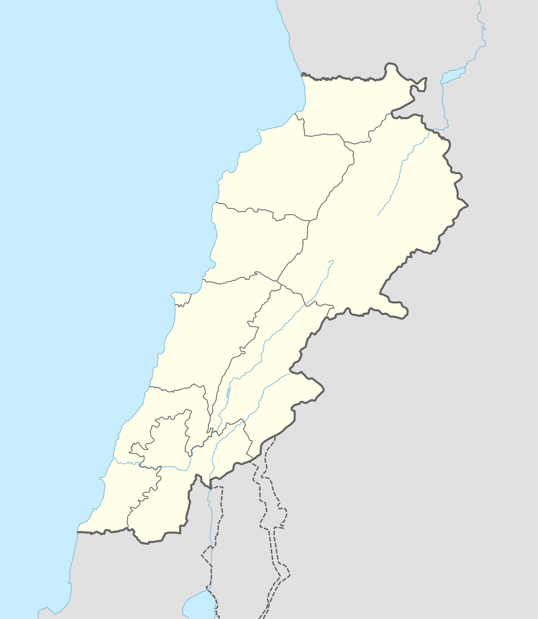
Template:Lebanese insurgency detailed map

Tallet el Hamra
Tallet Jarrash
Tallet Mkhairamieh
Wadi Rafeq
Wadi al Hamid
Maaraboun
Jdaydet Yaboos Crossing
Al Abboudiye Border Crossing
Jawsiyah Crossing
Jaroud Arsal
Al Ajram
South Arsal Heights
Dhamrani
Martayba
Hezbollah position in Arsal Heights
Hezbollah position in Arsal Heights
Hezbollah position in Arsal Heights
Hezbollah position in Arsal Heights
Wadi Hmeid
Al-Zimrani
Wadi Mira
Northern Beqaa Valley
Hold cursor over location to display name
2 nested circles: inner controls, outer sieges // 3 nested circles: mixed control with stable situation // Small icons within large circle: situation in individual neighbourhoods/districts
 Under control of the Lebanese Government forces
 Under control of Lebanese Communist Party or Fatah or Syrian rebels in Lebanon
 Under control of Hezbollah, PFLP-GC and allies
 Under control of the Islamic State of Iraq and the Levant
 Under control of Sunni militants and Tahrir al-Sham
Contested:
 Lebanese Government–Hezbollah and PFLP-GC
 Lebanese Government–ISIL
 Lebanese Government-Lebanese Communist Party/Fatah/Syrian rebels
 Hezbollah and PFLP-GC–ISIL
 Lebanese Government–Sunni militants/Tahrir al-Sham
 Hezbollah and PFLP-GC–Sunni militants/Tahrir al-Sham
 Sunni militants/Tahrir al-Sham–Lebanese Communist Party/Fatah/Syrian rebels
 Lebanese Communist Party/Fatah/Syrian rebels in Lebanon–Hezbollah and PFLP-GC
 Lebanese Communist Party/Fatah/Syrian rebels in Lebanon–ISIL
 Sunni militants/Tahrir al-Sham–ISIL
Other
 Military base
 Airport/Air base (jet)
 Airport/Air base (helicopter)
 Major port or naval base
 Border Post
 Dam
Dam Industrial complex
2 nested circles: inner controls, outer sieges // 3 nested circles: mixed control with stable situation // Small icons within large circle: situation in individual neighbourhoods/districts
| This template may have no transclusions, because it is substituted by a tool or script, it is used as part of a short-term or less active Wikipedia process, or for some other reason. |
| This template uses Lua: |
Transclude this template by using {{Lebanese insurgency detailed map}}. No parameters should be provided.
How war map template work with other parts of Wikipedia
