Old Mine Road Historic District
.jpg/1280px-Isaac_Van_Campen_House,_1750_(3707827199).jpg)


The Old Mine Road Historic District is a 687-acre (278 ha) historic district located along Old Mine Road in Sussex County and Warren County, New Jersey. It is part of the Delaware Water Gap National Recreation Area.[4] The district was added to the National Register of Historic Places on December 3, 1980, for its significance in agriculture, archaeology, architecture, commerce, exploration/settlement, and transportation. It includes 24 contributing buildings and five contributing sites.[5]
History and description
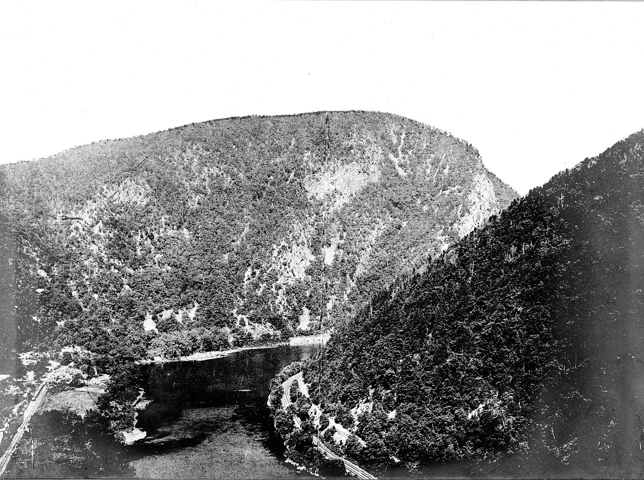
The Old Mine Road is a 104-mile (167 km) long stretch of roads that connect from the Hudson River by Kingston, New York to the Delaware River in Sussex and Warren counties.[6] This district is a linear district along a 26-mile (42 km) section of the Old Mine Road in Sussex and Warren counties. In this stretch, it is known as County Route 521, Delaware Mine Road, Old Mine Road, River Road and various other local designations.[5]
The stretch runs through Montague, Sandyston, Walpack and Hardwick townships. The southern end starts near the Pahaquarry Copper Mine, in what was once Pahaquarry Township, now part of Hardwick Township. The northern end is at the intersection of Old Mine Road, County Route 521, and U.S. Route 206 in Montague Township.[5]
It includes Early Republic, Late Victorian, and Early Colonial Dutch architecture.[5]
Van Campen's Inn, also known as the Isaac Van Campen Inn, was built c. 1750 either by Van Campen or Harmon Rosenkrans. It is a two and one-half story fieldstone building with Georgian and Dutch styling.[5] It was documented by the Historic American Buildings Survey in 1937, 1941, 1967, and 1970.[7]
There are two ferry houses in the Flatbrookville section of Walpack Township, the Decker Ferry House, built c. 1800, and the Rosenkrans Ferry House, also known as the Smith-Rosenkrans House, built c. 1807, that contribute to the district. Three houses in the Millbrook section of Hardwick Township, the Colonel Abraham Van Campen House, built c. 1750, the B. B. Van Campen Farm, also known as the Moses Van Campen House, built c. 1840, and the Miller House, also known as the James Van Campen Farm, contribute.[5]
Gallery
-
Decker Ferry House
-
Rosenkrans Ferry House
-
B. B. Van Campen Farm


.jpg/1280px-Moses_Van_Campen_House_ca_1816_aka_B.B._Van_Campen_House_(8439842524).jpg)
See also
- National Register of Historic Places listings in Sussex County, New Jersey
- National Register of Historic Places listings in Warren County, New Jersey
References
- ^ "National Register Information System – (#80000410)". National Register of Historic Places. National Park Service. November 2, 2013.
- ^ "New Jersey and National Registers of Historic Places – Sussex County" (PDF). New Jersey Department of Environmental Protection - Historic Preservation Office. March 23, 2022. p. 5.
- ^ "New Jersey and National Registers of Historic Places – Warren County" (PDF). New Jersey Department of Environmental Protection - Historic Preservation Office. March 23, 2022. p. 4.
- ^ "New Jersey/ Pennsylvania: Delaware Water Gap National Recreation Area". National Park Service.
- ^ a b c d e f Wayne K. Bodle; Clifford Tobias (July 16, 1980). "National Register of Historic Places Inventory/Nomination: Old Mine Road Historic District / Old Mine Road". National Park Service. Retrieved June 23, 2018. With accompanying 29 photos from 1977
- ^ Kraft, Herbert C. (1996). The Dutch, the Indians and the Quest for Copper: Pahaquarry and the Old Mine Road. West Orange, New Jersey: Seton Hall University Museum. pp. xiv–xvi. ISBN 978-0-935137-02-6.
- ^ "Isaac Van Campen House". Historic American Buildings Survey.
External links
 Media related to Old Mine Road Historic District at Wikimedia Commons
- Historic American Buildings Survey (HABS) No. NJ-430, "Colonel Abraham Van Campen House, Old Mine Road, Millbrook, Warren County, NJ", 8 photos, 10 measured drawings, 10 data pages, 1 photo caption page
- HABS No. NJ-436, "Isaac Van Campen House, Old Mine Road, Wallpack Center, Sussex County, NJ", 15 photos, 14 measured drawings, 7 data pages, 2 photo caption pages
- HABS No. NJ-812, "Smith-Rosenkrans House, Old Mine Road, Flatbrookville, Sussex County, NJ", 11 photos, 11 measured drawings, 9 data pages, 1 photo caption page
- HABS No. NJ-825, "James Van Campen Farm, Old Mine Road, Millbrook, Warren County, NJ", 5 photos, 12 data pages, 1 photo caption page
- HABS No. NJ-826, "Moses Van Campen House, Old Mine Road, Millbrook, Warren County, NJ", 4 photos, 8 data pages, 1 photo caption page
.jpg)
.jpg)
| Topics |  | |
|---|---|---|
| Lists by county | ||
| Other lists | ||
| Landmarks | ||
|---|---|---|
| Districts |
| |
| Places of worship | ||
| Houses | ||
| Buildings | ||
| Sites | ||
| Structures | ||
| Districts |
| |
|---|---|---|
| Places of worship | ||
| Houses |
| |
| Buildings | ||
| Sites | ||
| Structures | ||