National Register of Historic Places listings in Tama County, Iowa

This is a list of the National Register of Historic Places listings in Tama County, Iowa.
This is intended to be a complete list of the properties and districts on the National Register of Historic Places in Tama County, Iowa, United States. Latitude and longitude coordinates are provided for many National Register properties and districts; these locations may be seen together in a map.[1]
There are 13 properties listed on the National Register in the county.
This National Park Service list is complete through NPS recent listings posted April 12, 2024.[2]
Current listings
| [3] | Name on the Register[4] | Image | Date listed[5] | Location | City or town | Description |
|---|---|---|---|---|---|---|
| 1 | Chambers Ford Bridge |  |
May 15, 1998 (#98000482) |
385th St. over the Iowa River 41°53′01″N 92°20′09″W / 41.883611°N 92.335833°W / 41.883611; -92.335833 (Chambers Ford Bridge) | Chelsea | |
| 2 | Conant's Cabin and Park |  |
December 14, 2000 (#00000920) |
Iowa Highway 96, 3 miles east of Gladbrook 42°10′37″N 92°39′19″W / 42.176944°N 92.655278°W / 42.176944; -92.655278 (Conant's Cabin and Park) | Gladbrook | |
| 3 | First United Brethren Church | .jpg/1280px-First_United_Brethren_Church_(Toledo,_Iowa).jpg) |
May 8, 2017 (#100000969) |
201 E. High St. 41°59′45″N 92°34′36″W / 41.995787°N 92.576618°W / 41.995787; -92.576618 (First United Brethren Church) | Toledo | |
| 4 | Hope Fire Company Engine House | .jpg/1280px-Hope_Fire_Company_Engine_House_(Toledo,_Iowa).jpg) |
January 27, 1983 (#83000404) |
109 S. Broadway 41°59′42″N 92°34′40″W / 41.995°N 92.577778°W / 41.995; -92.577778 (Hope Fire Company Engine House) | Toledo | |
| 5 | King Tower Historic District |  |
March 3, 2020 (#100004998) |
1701 E. 5th St. / Business 30 41°57′51″N 92°33′26″W / 41.964118°N 92.557092°W / 41.964118; -92.557092 (King Tower Historic District) | Tama | |
| 6 | Le Grand Bridge | May 15, 1998 (#98000481) |
Abbot Ave. over the Iowa River 42°01′54″N 92°45′58″W / 42.031667°N 92.766111°W / 42.031667; -92.766111 (Le Grand Bridge) | Le Grand | Collapsed in 2008. | |
| 7 | Lincoln Highway Bridge | 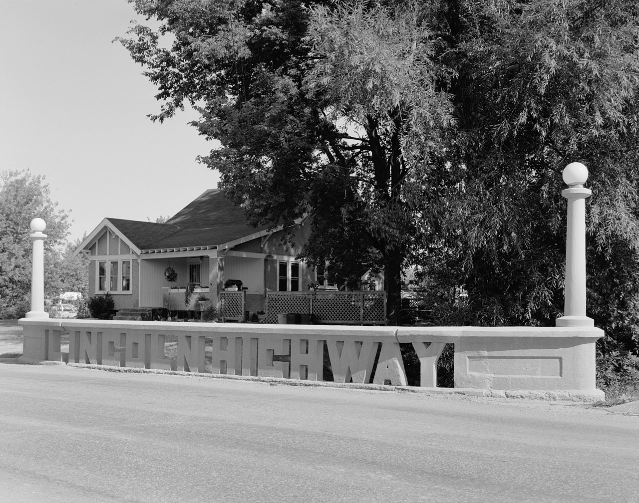 |
March 30, 1978 (#78001263) |
E. 5th St. 41°57′52″N 92°33′47″W / 41.964444°N 92.563056°W / 41.964444; -92.563056 (Lincoln Highway Bridge) | Tama | |
| 8 | Round Barn, Buckingham Township |  |
June 30, 1986 (#86001441) |
Off U.S. Route 63 42°17′01″N 92°28′35″W / 42.283611°N 92.476389°W / 42.283611; -92.476389 (Round Barn, Buckingham Township) | Buckingham Township | |
| 9 | Star-Clipper-Canfield Building and Winding Stairway |  |
October 29, 1975 (#75000699) |
534 2nd St. 42°11′36″N 92°27′59″W / 42.193333°N 92.466389°W / 42.193333; -92.466389 (Star-Clipper-Canfield Building and Winding Stairway) | Traer | |
| 10 | Tama County Courthouse |  |
July 2, 1981 (#81000269) |
State St. 41°59′49″N 92°34′39″W / 41.996944°N 92.5775°W / 41.996944; -92.5775 (Tama County Courthouse) | Toledo | |
| 11 | Tama County Jail |  |
August 27, 1981 (#81000270) |
Broadway and State Sts. 41°59′49″N 92°34′40″W / 41.996944°N 92.577778°W / 41.996944; -92.577778 (Tama County Jail) | Toledo | |
| 12 | Wieting Theater |  |
April 26, 1979 (#79000944) |
101 S. Church St. 41°59′45″N 92°34′43″W / 41.995833°N 92.578611°W / 41.995833; -92.578611 (Wieting Theater) | Toledo | |
| 13 | John W. Young Round Barn | June 30, 1986 (#86001444) |
Off U.S. Route 63 42°11′36″N 92°28′28″W / 42.193333°N 92.474444°W / 42.193333; -92.474444 (John W. Young Round Barn) | Traer |
Former listings
| [3] | Name on the Register | Image | Date listed | Date removed | Location | City or town | Description |
|---|---|---|---|---|---|---|---|
| 1 | Brooks and Moore Bank Building | December 3, 1974 (#74000813) | May 22, 1998 | 423 2nd St. | Traer | Demolished in 1976. | |
| 2 | Toledo Bridge | May 15, 1998 (#98000480) | January 8, 2009 | Ross St. over Deer Creek 41°59′32″N 92°35′30″W / 41.992222°N 92.591667°W / 41.992222; -92.591667 (Toledo Bridge) | Toledo |
See also
Wikimedia Commons has media related to National Register of Historic Places in Tama County, Iowa.
- List of National Historic Landmarks in Iowa
- National Register of Historic Places listings in Iowa
- Listings in neighboring counties: Benton, Black Hawk, Grundy, Iowa, Marshall, Poweshiek
References
- ^ The latitude and longitude information provided in this table was derived originally from the National Register Information System, which has been found to be fairly accurate for about 99% of listings. Some locations in this table may have been corrected to current GPS standards.
- ^ National Park Service, United States Department of the Interior, "National Register of Historic Places: Weekly List Actions", retrieved April 12, 2024.
- ^ a b Numbers represent an alphabetical ordering by significant words. Various colorings, defined here, differentiate National Historic Landmarks and historic districts from other NRHP buildings, structures, sites or objects.
- ^ "National Register Information System". National Register of Historic Places. National Park Service. April 24, 2008.
- ^ The eight-digit number below each date is the number assigned to each location in the National Register Information System database, which can be viewed by clicking the number.
| Topics | |
|---|---|
| Lists by state |
|
| Lists by insular areas | |
| Lists by associated state | |
| Other areas | |
| Related | |


.jpg)
.jpg)
Municipalities and communities of Tama County, Iowa, United States | ||
|---|---|---|
| Cities |  | |
| Townships | ||
| Unincorporated communities | ||
| Indian reservation | ||
| Footnotes | ‡This populated place also has portions in an adjacent county or counties | |