This is a list of crossings of the Danube river , from its mouth in the Black Sea to its source in Germany . Next to each bridge listed is information regarding the year in which it was constructed and for what use it was constructed (foot bridge, bicycle bridge, road bridge or railway bridge), and the distance from the mouth of the river in kilometres where available.
Romania Romania-Bulgaria border Romania–Serbia border Serbia Croatian–Serbian border Hungary
Crossing
Distance from mouth (in kilometres)
Carries
Location
Opened
Coordinates
Photo
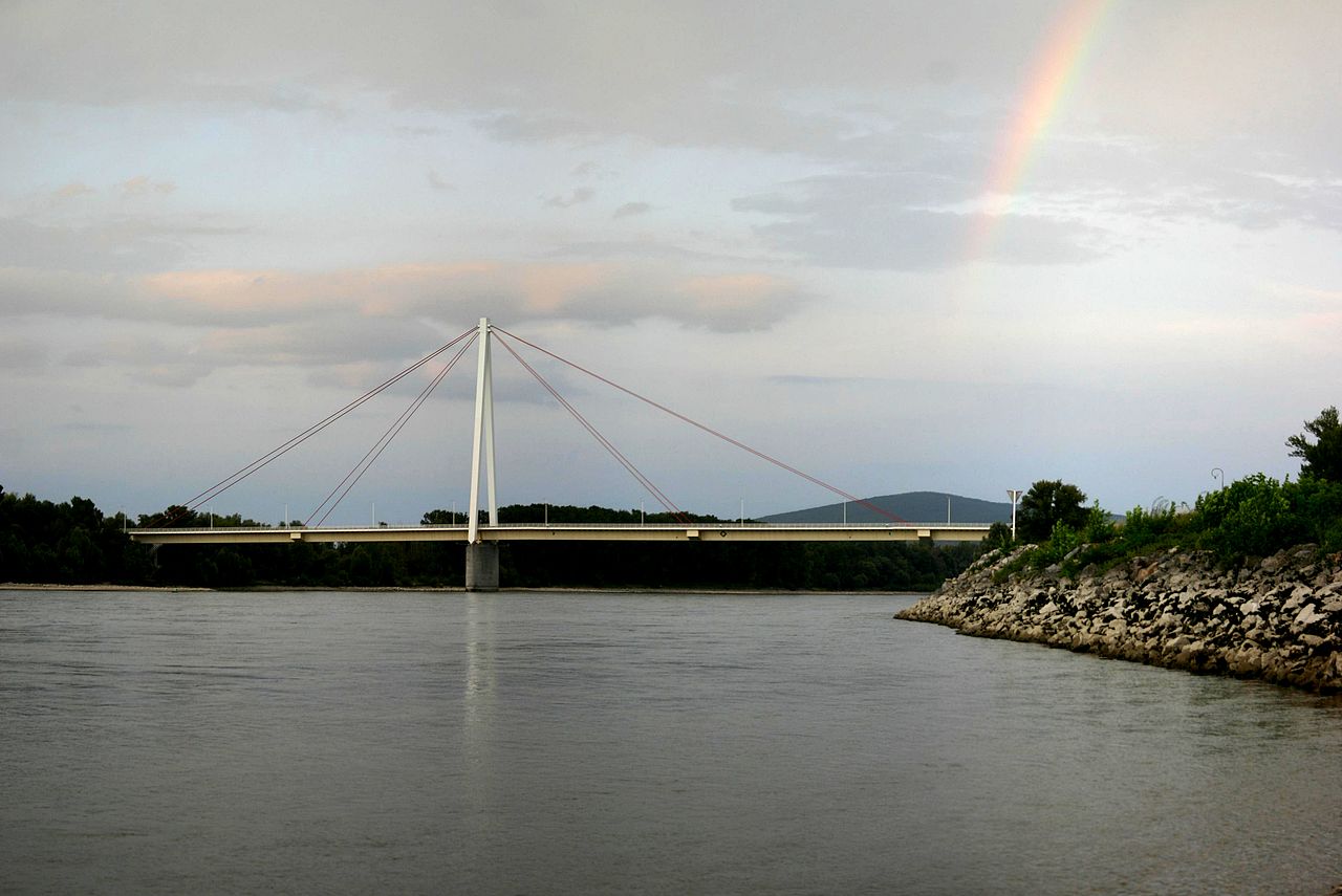
István Türr Bridge 1480.22 Hungarian road 55, Bátaszék–Baja–Kiskunhalas railway line Baja , Pörböly 1999 46°11′35″N 18°55′37″E Szent László bridge 1498.8 M9 motorway Szekszárd , Dusnok 2003 46°21′8″N 18°53′42″E József Beszédes Bridge 1560.55 Hungarian road 54 Solt , Dunaföldvár 2001 46°48′38″N 18°55′59″E Pentele Bridge 1571.7 M8 motorway Dunaújváros , Dunavecse 2007 46°54′11″N 18°57′27″E Deák Ferenc Bridge 1632.8 M0 motorway Szigetszentmiklós , Budapest 2012 47°23′24″N 19°0′50″E Connective Railway Bridge 1643 Budapest–Hegyeshalom railway line Budapest 1953 47°28′6″N 19°4′2″E Rákóczi Bridge 1643 Hungary boulevard Budapest 1995 47°28′7″N 19°4′3″E Petőfi Bridge 1644.3 Grand Boulevard Budapest 1952 47°28′44″N 19°3′48″E Liberty Bridge 1645.3 Small Boulevard , Béla Bartók AvenueBudapest 2009 47°29′8″N 19°3′18″E Elisabeth Bridge 1646 Rákóczi Avenue , Hegyalja AvenueBudapest 1964[8] 47°29′27″N 19°2′57″E Széchenyi Chain Bridge 1647 Adam Clark Square, Széchenyi István Square Budapest 1949 47°29′56″N 19°2′37″E Kossuth Bridge Batthyány Square , Kossuth Square Budapest 18 Jan 1946 47°30′23″N 19°2′42″E Margaret Bridge 1648.75 Grand Boulevard Budapest 2011 47°30′53″N 19°2′37″E Árpád Bridge 1651.3 Hungary boulevard , Vörösvári út, Szentendrei útBudapest 7 Nov 1950 47°32′15″N 19°3′15″E Újpest railway bridge 1654.5 Budapest–Esztergom railway Budapest 1896 47°33′47″N 19°4′3″E Megyeri Bridge 1660 M0 motorway Budapest , Dunakeszi 30 Sep 2008 47°36′25″N 19°5′31″E
Hungary-Slovakia border Slovakia Austria
Crossing
Distance from mouth (in km)
Carries
Location
Built
Coordinates
Photo
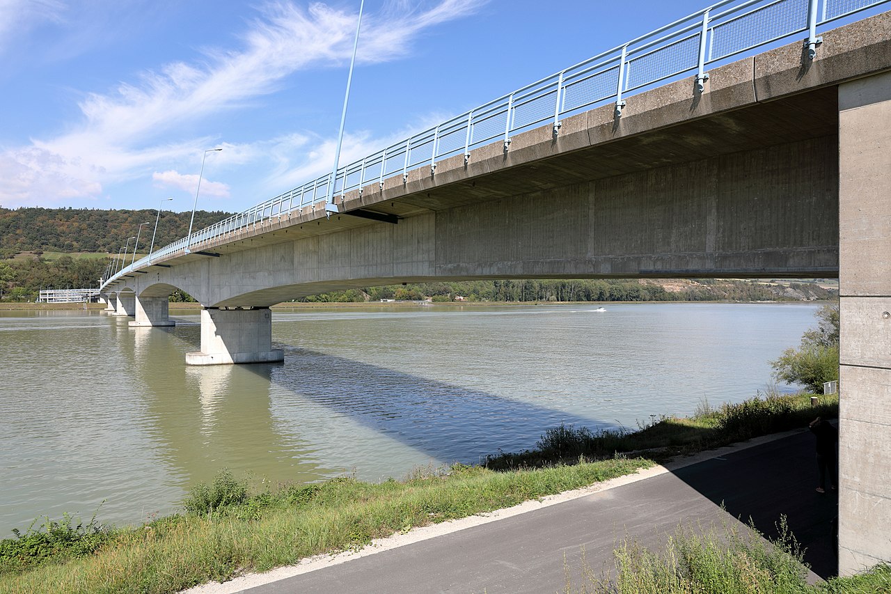
Andreas Maurer bridge 1886.2 Bernstein Straße Hainburg an der Donau , Engelhartstetten Dec 1972 48°8′44″N 16°54′30″E Barbara bridge 1914.4 Gas pipe Lower Austria 1957 48°8′27″N 16°33′10″E Mannswörth pipeline bridge 1917.7 Gas pipe[f] [g] Lower Austria 1959 48°9′28″N 16°30′58″E Weir 2[h] 1918.3 Footpath Vienna 1988 48°9′48″N 16°30′44″E Waluliso Bridge[i] Footpath [j] Vienna 1998 48°10′33″N 16°29′28″E Freudenauer Hafenbrücke 1921.1 Covered pedestrian/bicycle path with viewing platform Vienna 1992 48°10′18″N 16°28′46″E Steinsporn Bridge Footpath Vienna 1974 48°11′36″N 16°27′51″E Stadtlau East Railway Bridge 1925 Railway line Donaustadt [10] 1931 48°12′6″N 16°26′39″E Prater Bridge 1925.8 Vienna Southeast Bypass motorway A23 Vienna 1967[k] 48°12′26″N 16°26′11″E Danube city bridge 1926 U2 Vienna Mar 1997 48°12′34″N 16°26′11″E Weir 1[l] 1926.2 Footpath Vienna 1978 48°12′42″N 16°26′13″E Kaisermühlen Bridge Footpath Vienna 1993 48°13′21″N 16°25′12″E Reichsbrücke 1928.9 Angerner Straße, U1 Leopoldstadt , Donaustadt , Vienna 8 Nov 1980[11] 48°13′42″N 16°24′36″E Ponte Cagrana[m] pedestrian/bicycle access[n] Vienna 2000 48°13′50″N 16°24′34″E Brigittenauer Bridge 1930.4 Klosterneuburger Straße Vienna 25 Oct 1982 48°14′16″N 16°23′40″E Georg Danzer Bridge 1931.2 U6 Vienna 1991 48°14′38″N 16°23′23″E Northern Railway Bridge 1931.2 North railway line Vienna 1870 48°14′39″N 16°23′22″E Floridsdorfer Brücke 1931.7 Floridsdorfer Straße Vienna [12] 1924[o] 48°14′51″N 16°23′7″E Steinitzsteg Footbridge 1932.5 Footpath Vienna 1995 48°15′18″N 16°22′51″E North Bridge 1932.6 North Bridge Feeder Vienna 19 Dec 1964 48°15′18″N 16°22′48″E Jedleseer Bridge Footpath Vienna 1983 48°16′6″N 16°22′23″E Langenzersdorf intake structure 1938.1 pedestrian/bicycle crossing between Langenzersdorf and the Danube Island Klosterneuburg 1975 48°17′54″N 16°20′52″E Greifenstein power station 1949.2 Footpath Sankt Andrä-Wördern , Spillern 1981 48°21′15″N 16°14′30″E Donaubrücke Tulln 1963.2 Railway line, Tullner Straße Tulln an der Donau 1875 48°20′7″N 16°3′32″E Rose Bridge 1965.4 Tullner Straße Tulln an der Donau 1992 48°20′4″N 16°1′39″E Altenwörth power station 1980.4 Footpath Tulln an der Donau 1973 48°22′35″N 15°51′27″E Traismauer Danube motorway bridge 1991.4 S33 expressway Lower Austria 31 Oct 2010 48°22′59″N 15°43′23″E Krems Danube bridge 1999.8 Kremser Straße Krems 1971 48°24′12″N 15°37′30″E Krems railway bridge 2001.5 Bahnstrecke Krems an der Donau - Herzogenburg Lower Austria 1889[p] 48°24′9″N 15°36′5″E Q1911839 Krems [13] 48°23′51″N 15°34′30″E Melk Danube Bridge 2034.5 Melker Straße Melk 1972 48°14′32″N 15°20′44″E Melk power station dam 2038 Footpath Melk 1979 48°13′28″N 15°18′14″E Pöchlarn Danube bridge 2043.6 Pöchlarner Straße Pöchlarn 2002 48°12′56″N 15°13′49″E Persenbeug Dam 2060.4 Erlauftal Straße Persenbeug 1959 48°11′25″N 15°4′13″E Leopold Helbich Bridge 2080.8 Greiner Straße Grein 1965 48°12′40″N 14°51′24″E Wallsee-Mitterkirchen power station 2094.5 road (L1427) Mitterkirchen im Machland , Wallsee-Sindelburg 1965 48°10′0″N 14°41′42″E Mauthausen railway bridge 2111.1 Donauuferbahn , Summerauer BahnMauthausen , Sankt Pantaleon-Erla 1872 48°14′16″N 14°31′52″E Mauthausen Danube bridge 2111.1 Mauthausener Straße Mauthausen , Sankt Pantaleon-Erla 1962 48°14′16″N 14°31′52″E Abwinden-Asten power station 2119.6 Footpath , bike path Steyregg 1973 48°14′55″N 14°25′52″E Steyregg Railway Bridge 2127.6 Summerauer Bahn Steyregg , Linz 1873 48°17′12″N 14°20′37″E Steyregg Bridge 2127.7 Donau Straße Steyregg , Linz 12 Sep 1979 48°17′13″N 14°20′36″E VÖEST Bridge 2133.5 Mühlkreis Autobahn Upper Austria 1968 48°19′10″N 14°17′56″E Eisenbahnbrücke, Linz 2133.9 railway, road (129), pedestrians - to be closed in 2012[14] Linz 1900 48°19′1″N 14°17′45″E Nibelungen Bridge 2135.1 Eferdinger Straße Linz 1938 48°18′27″N 14°17′5″E Ottensheim-Wilhering power station 2146.7 Footpath , bike path Upper Austria , Ottensheim 1970 48°19′1″N 14°9′2″E Aschach Danube Bridge 2160 Aschacher Straße Aschach an der Donau , Feldkirchen an der Donau 1962[15] 48°21′45″N 14°1′33″E Niederranna Danube bridge 2194 Niederranna -Wesenufer road (L587)Upper Austria 1980 48°27′57″N 13°47′43″E
Germany Notes
^ The largest bridge over the Danube[2]
^ Destroyed mid-4th century
^ between CFR Line 912 and BDZ Line 7
^ Replacing 1891 Franz Joseph Bridge (most Františka Jozefa - originally a railway bridge), demolished and rebuilt 2013-2016
^ also bicycle and pedestrian path, water and gas pipes
^ 20 pipes for natural gas and liquid petroleum products
^ Non-public footbridge
^ across New Danube
^ Across New Danube
^ Closed in winter and high water
^ widened and raised 1996-97
^ Across New Danube
^ Across New Danube
^ closed in winter and high water
^ replacing 1874 Franz Joseph Bridge; rebuilt 1945-46
^ rebuilt 1945
^ Openable bridge
^ Other bridges were built 1935–1938; 1950; 2001–04
^ Between island Wöhrd and Stadtamhof
^ Across Rhine-Main-Danube Canal (now closed to traffic)
^ Between island (Wöhrd ) and Stadtamhof
^ Across the Rhine–Main–Danube Canal
^ road bridge bypassing town centre
^ also 1869, 1999–2001
References
^ "Consiliul Judeţean Brăila > Consiliul Judetean Braila > Judetul Braila > Oportunităţi > Pod peste Dunare la Braila". Archived from the original on 2014-04-08. Retrieved 2014-04-08 . ^ "EU Cohesion Policy: The largest bridge over the Danube opens for circulation". ec.europa.eu . 6 July 2023. Retrieved 11 July 2023 . ^ https://tools.wmflabs.org/heritage/api/api.php?action=search&format=json&srcountry=ro&srlang=ro&srid=CT-II-m-A-02872
^ https://tools.wmflabs.org/heritage/api/api.php?action=search&format=json&srcountry=ro&srlang=ro&srid=IL-II-a-A-14114
^ "Southeast European Cooperative Initiative - SECI". Archived from the original on 2011-09-29. Retrieved 2010-06-20 . ^ "Southeast European Cooperative Initiative - SECI". Archived from the original on 2011-09-29. Retrieved 2010-06-20 . ^ https://sdcafe.rs/smederevski-most-na-dunavu-postojao-jos-pre-100-godina/
^ https://www.sulinet.hu/oroksegtar/data/tudomany_es_ismeretterjesztes/A_budapesti_duna_hidak/
^ No label or title -- debug: Q112086059, Wikidata Q112086059 ^ https://tools.wmflabs.org/heritage/api/api.php?action=search&format=json&srcountry=at&srlanguage=de&srid=11306
^ https://structurae.net/en/structures/reichsbrucke
^ a b c archINFORM (in German, English, French, Spanish, and Italian), OCLC 45382278, Wikidata Q265049 ^ https://tools.wmflabs.org/heritage/api/api.php?action=search&format=json&srcountry=at&srlanguage=de&srid=77446
^ "Eisenbahnbrücke nur noch bis Ende 2012 befahrbar", Oberösterreichische Nachrichten , 7 April 2010 (German), retrieved 23 May 2010.
^ https://www.land-oberoesterreich.gv.at/13758.htm
^ https://tools.wmflabs.org/heritage/api/api.php?action=search&format=json&srcountry=at&srlanguage=de&srid=128983
^ "Einweihung der neuen Donaubrücke in Donaumünster ein Tag der Freude", Schwabmünchner Allgemeine 19 September 2007, retrieved 5 May 2010 (German).
External links (in German) Liste sämtlicher Brücken über die Donau (PDF) – Quelle: donauschifffahrt.info(in German) Liste der Schleusen – Quelle: donauschifffahrt.info /(in German) Die Donau ~ Faszination eines Flusses(in German) Die interaktive Kulturkarte entlang der Donau(in German) Arbeitsgemeinschaft Donauländer Archived 2017-07-24 at the Wayback Machine (in German) Wiener Donaubrücken(in German) Donaubrücken bei brueckenbau-links.de


.jpg/1280px-Piciorul_Podului_lui_Traian,_malul_rom%C3%A2nesc_(19_august_2009).jpg)


.jpg/1280px-A_steel_arch_bridge_over_calm_water_(Unsplash).jpg)


.jpg/1280px-Lu%C5%BEn%C3%BD_most_(51251142984).jpg)


_Bridge_over_Danube_at_Krems_an_der_Donau,_Austria.jpg/1280px-2018-10-22_(827)_Bridge_over_Danube_at_Krems_an_der_Donau,_Austria.jpg)
.jpg/1280px-Kremser_Eisenbahnbr%C3%BCcke_(IMG_20210606_174030).jpg)


_Bicycle_way_over_Kraftwerk_Melk,_Austria.jpg/1280px-2019-05-19_(343)_Bicycle_way_over_Kraftwerk_Melk,_Austria.jpg)

.jpg/1280px-Mauthausen_Donaubruecken_20030421_(cropped).jpg)


_2018.jpg/1280px-Fussg%C3%A4ngerbr%C3%BCcke_(Donausteg)_2018.jpg)


.jpg/1280px-Regensburg_-_panoramio_(73).jpg)


.JPG/1280px-Neustadt_Donau-neue_Donaubr%C3%BCcke_(cropped).JPG)


.jpg/1280px-AK_-_Donauw%C3%B6rth_-_Blick_auf_Stadt_und_Donaubr%C3%BCcke_-_coloriert_(cropped).jpg)


.jpg)
.jpg)
.jpg)
_Bridge_over_Danube_at_Krems_an_der_Donau,_Austria.jpg)
.jpg)
_Bicycle_way_over_Kraftwerk_Melk,_Austria.jpg)
.jpg)
_2018.jpg)
.jpg)
.jpg)
.JPG)
.jpg)
