List of cities in Niger
This is a list of cities and towns in Niger. All larger cities are also Communes of Niger. While often translated as "town", Nigerien communes are simply the third level administrative subdivision of the nation. These can be classified Urban or Rural communes, and while often the administrative unit of a town or city, all areas of the country fall within a commune. Smaller towns and neighborhoods are designated Quarters (Urban) or Villages (Rural).
Largest cities and urban centers
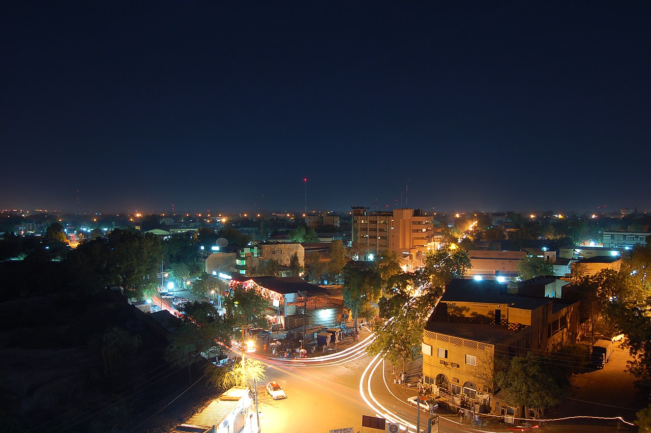

.jpg/1280px-Zinder_(6328886864).jpg)

Cities with population over 10,000 according to 2012 census.
| City | Census division | Population 2012[1] |
Position[2] |
|---|---|---|---|
| Abala | Tillabéri | 11,068 | |
| Abalak | Tahoua | 21,842 | 15°27′08″N 6°16′42″E / 15.4522222°N 6.2783333°E / 15.4522222; 6.2783333 |
| Agadez | Agadez | 110,497 | 16°58′26″N 7°59′27″E / 16.9738889°N 7.9908333°E / 16.9738889; 7.9908333 |
| Aguié | Maradi | 17,397 | 13°30′29″N 7°46′38″E / 13.5080556°N 7.7772222°E / 13.5080556; 7.7772222 |
| Arlit | Agadez | 78,651 | 18°43′57″N 7°22′05″E / 18.7325°N 7.3680556°E / 18.7325; 7.3680556 |
| Ayourou | Tillabéri | 11,528 | |
| Balléyara | Tillabéri | 16,063 | |
| Birni Ngaouré | Dosso | 14,430 | 13°05′16″N 2°55′01″E / 13.0877778°N 2.9169444°E / 13.0877778; 2.9169444 |
| Birni Nkonni | Tahoua | 63,169 | 13°48′N 5°15′E / 13.8°N 5.25°E / 13.8; 5.25 |
| Bouza | Tahoua | 10,368 | |
| Dakoro | Maradi | 29,293 | 13°49′00″N 6°25′00″E / 13.8166667°N 6.4166667°E / 13.8166667; 6.4166667 |
| Diffa | Diffa | 39,960 | 13°18′56″N 12°36′32″E / 13.3155556°N 12.6088889°E / 13.3155556; 12.6088889 |
| Dogondoutchi | Dosso | 36,971 | 13°38′46″N 4°01′44″E / 13.6461111°N 4.0288889°E / 13.6461111; 4.0288889 |
| Dosso | Dosso | 58,671 | 13°02′40″N 3°11′41″E / 13.0444444°N 3.1947222°E / 13.0444444; 3.1947222 |
| Filingué | Tillabéri | 12,224 | 14°21′00″N 3°19′00″E / 14.35°N 3.3166667°E / 14.35; 3.3166667 |
| Gaya | Dosso | 45,465 | 11°53′16″N 3°26′48″E / 11.8877778°N 3.4466667°E / 11.8877778; 3.4466667 |
| Gazaoua | Maradi | 14,674 | |
| Gouré | Zinder | 18,289 | 13°59′13″N 10°16′12″E / 13.9869444°N 10.27°E / 13.9869444; 10.27 |
| Guidanroumdji | Maradi | 17,525 | 13°51′00″N 6°58′00″E / 13.85°N 6.9666667°E / 13.85; 6.9666667 |
| Illéla | Tahoua | 22,491 | 14°27′42″N 5°14′51″E / 14.4616667°N 5.2475°E / 14.4616667; 5.2475 |
| Keita | Tahoua | 10,361 | |
| Kollo | Tillabéri | 14,746 | 13°18′31″N 2°19′51″E / 13.3086111°N 2.3308333°E / 13.3086111; 2.3308333 |
| Madaoua | Tahoua | 27,972 | 14°06′00″N 6°26′00″E / 14.1°N 6.4333333°E / 14.1; 6.4333333 |
| Madarounfa | Maradi | 12,220 | |
| Magaria | Zinder | 25,928 | 14°34′00″N 8°44′00″E / 14.5666667°N 8.7333333°E / 14.5666667; 8.7333333 |
| Maïné-Soroa | Diffa | 13,136 | 13°13′04″N 12°01′36″E / 13.2177778°N 12.0266667°E / 13.2177778; 12.0266667 |
| Maradi | Maradi | 267,249 | 13°29′30″N 7°05′47″E / 13.4916667°N 7.0963889°E / 13.4916667; 7.0963889 |
| Matameye | Zinder | 27,615 | 13°25′26″N 8°28′40″E / 13.4238889°N 8.4777778°E / 13.4238889; 8.4777778 |
| Mayahi | Maradi | 13,157 | |
| Mirriah | Zinder | 28,407 | 13°42′51″N 9°09′02″E / 13.7141667°N 9.1505556°E / 13.7141667; 9.1505556 |
| Nguigmi | Diffa | 23,670 | 14°15′10″N 13°06′39″E / 14.2527778°N 13.1108333°E / 14.2527778; 13.1108333 |
| Niamey | Niamey Capital District | 978,029 | 13°31′00″N 2°07′00″E / 13.5166667°N 2.1166667°E / 13.5166667; 2.1166667 |
| Ouallam | Tillabéri | 10,594 | |
| Say | Tillabéri | 13,546 | 13°06′29″N 2°21′35″E / 13.1080556°N 2.3597222°E / 13.1080556; 2.3597222 |
| Tahoua | Tahoua | 117,826 | 14°53′25″N 5°16′04″E / 14.8902778°N 5.2677778°E / 14.8902778; 5.2677778 |
| Tânout | Zinder | 20,339 | 14°58′13″N 8°53′30″E / 14.9702778°N 8.8916667°E / 14.9702778; 8.8916667 |
| Tchintabaraden | Tahoua | 15,298 | |
| Téra | Tillabéri | 29,119 | 14°00′38″N 0°45′11″E / 14.0105556°N 0.7530556°E / 14.0105556; 0.7530556 |
| Tessaoua | Maradi | 43,409 | 13°45′12″N 7°59′11″E / 13.7533333°N 7.9863889°E / 13.7533333; 7.9863889 |
| Tibiri | Maradi | 25,513 | |
| Tillabéri | Tillabéri | 22,774 | 14°12′22″N 1°27′12″E / 14.206146°N 1.453457°E / 14.206146; 1.453457 |
| Torodi | Tillabéri | 11,813 | |
| Zinder | Zinder | 235,605 | 13°48′00″N 8°59′00″E / 13.8°N 8.9833333°E / 13.8; 8.9833333 |
Smaller cities and towns
Agadez Region
- Aderbissinat
- Agessis[3]
- Aouderas
- Aratène[4]
- Arlit
- Assamakka
- Assodé
- Bilma
- Dabaga
- Fachi
- Iferouane
- In-Gall
- Madama
- Tegguiada In Tessoum
- Timia
- Tin Dawin[5]
Diffa Region
Dosso Region
Maradi Region
Tahoua Region
Tillabéri Region
Zinder Region
Niamey Urban Community
References
- ^ Population figures from citypopulation.de, citing (2001) Institut National de la Statistique du Niger.
- ^ fallingrain.com.
- ^ "Agessis Map, Weather and Photos - Niger: Populated place - Lat:17.0667 and Long:8.71667".
- ^ "Getamap Aratène". 2023.
- ^ "Getamap Tin Dawin". 2011-07-22.
External links
![]() Media related to Cities in Niger at Wikimedia Commons
Media related to Cities in Niger at Wikimedia Commons

.jpg)