Lake Markakol
This article has multiple issues. Please help improve it or discuss these issues on the talk page. (Learn how and when to remove these template messages)
|
| Lake Markakol Марқакөл | |
|---|---|
 | |
 Map of the area | |
| Coordinates | 48°45′N 85°45′E / 48.750°N 85.750°E / 48.750; 85.750 |
| Primary outflows | Kalzhyr |
| Basin countries | Kazakhstan |
| Max. length | 19 km (12 mi) |
| Max. width | 38 km (24 mi) |
| Surface area | 455 km2 (176 sq mi) |
| Average depth | 14 m (46 ft) |
| Max. depth | 30 m (98 ft) |
| Shore length1 | ~ 100 km (62 mi) |
| Surface elevation | 1,447 m (4,747 ft) |
| 1 Shore length is not a well-defined measure. | |


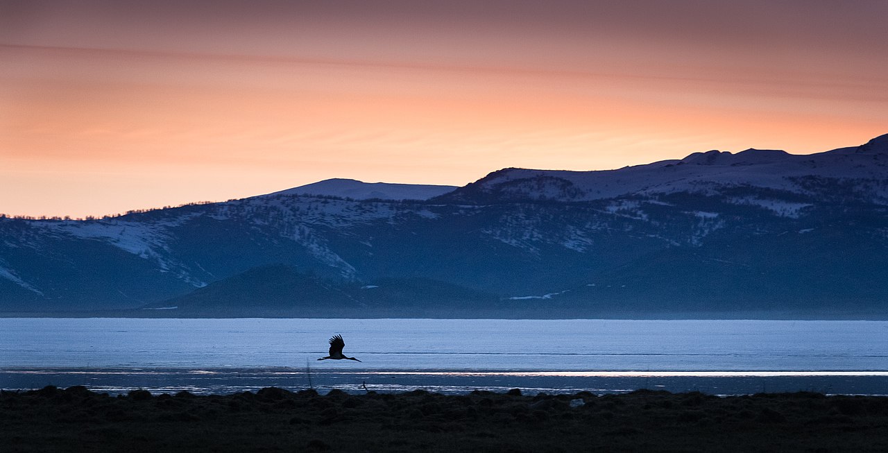
Lake Markakol (Kazakh: Марқакөл, Marqaköl; Russian: озеро Маркаколь, ozero Markakol') is a lake and popular tourist destination in East Kazakhstan. The lake is fed with small rivers and streams. Its coasts are cut up by gulfs. It is the largest lake in the Katonkaragay District of East Kazakhstan Region. Its main outflow is the Kalzhyr, a tributary of the Irtysh. There have been more than 700 species of higher plants recorded in this area.[1]
Gallery
-
The village of Urunkhayka on the east coast of Markakol.


References
- ^ "BirdLife Data Zone". datazone.birdlife.org. Retrieved 2021-09-27.
Capital: Oskemen | ||
| Districts |
|  |
| Major cities | ||
This Kazakhstan location article is a stub. You can help Wikipedia by expanding it. |