Lake George (Michigan–Ontario)
| Lake George | |
|---|---|
| Location | Algoma District, Ontario, Canada |
| Coordinates | 46°24′23″N 84°07′11″W / 46.40639°N 84.11972°W / 46.40639; -84.11972 |
| Type | Lake |
| Part of | Great Lakes Basin |
| Primary inflows | St. Marys River |
| Max. length | 16 km (9.9 mi) |
| Max. width | 7 km (4.3 mi) |
| Surface elevation | 176 m (577 ft) |
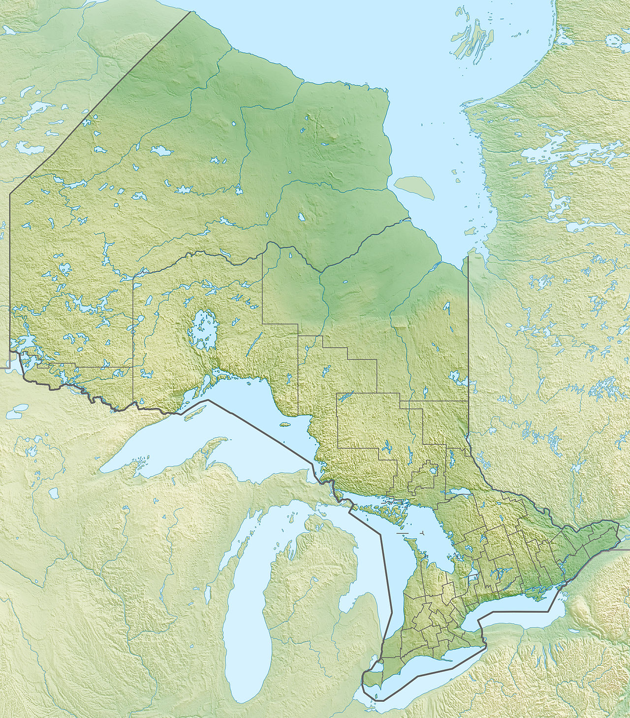
Lake George is a lake in Chippewa County, Michigan, United States, and Algoma District, Northwestern Ontario, Canada,[1][2][3] that lies between Sugar Island in Michigan on the west and the Ontario mainland on the east.
The lake is in the Great Lakes Basin and is part of Lake Huron and the St. Marys River. The primary inflow is the river arriving from Little Lake George at the north, and the primary outflow is the East Neebish Channel to the St. Joseph Channel at the south.
Tributaries
Clockwise from mouth
- In Michigan
- Rock Bottom Creek (right)
- Wilmar Creek (right)
- In Ontario
- Bar River (left)
- Echo River (left)
See also
References
- ^ "Lake George". Geographical Names Data Base. Natural Resources Canada. Retrieved 2012-10-26.
- ^ "Lake George". Atlas of Canada. Natural Resources Canada. 2010-02-04. Retrieved 2012-10-26. Shows the outline of the channel highlighted on a topographic map.
- ^ U.S. Geological Survey Geographic Names Information System: Lake George (Michigan–Ontario) Retrieved 2012-10-26
Other map sources:
- Map 12 (PDF) (Map). 1 : 1,600,000. Official road map of Ontario. Ministry of Transportation of Ontario. 2012-01-01. Retrieved 2012-10-26.
- Restructured municipalities - Ontario map #4 (Map). Restructuring Maps of Ontario. Ontario Ministry of Municipal Affairs and Housing. 2006. Archived from the original on 2014-04-10. Retrieved 2012-10-26.
- "Oakridge, MI–ON" (PDF). 7.5-minute series. United States Geological Survey. 2011. Retrieved 2012-10-26.
- "Oakridge OE E, MI–ON" (PDF). 7.5-minute series. United States Geological Survey. 2011. Retrieved 2012-10-26.
- "Baie de Wasai" (PDF). 7.5-minute series. United States Geological Survey. 2011. Retrieved 2012-10-26.
- "Lake George" (PDF). 15-minute series (topographic). United States Geological Survey. 1951. Retrieved 2012-10-26.
Great Lakes of North America | |||||||||||||
|---|---|---|---|---|---|---|---|---|---|---|---|---|---|
| Main lakes | |||||||||||||
| Secondary lakes | |||||||||||||
| Bays and channels |
| ||||||||||||
| Waterways | |||||||||||||
| Islands | |||||||||||||
| Historic geology | |||||||||||||
| Organizations |
| ||||||||||||
| Related topics |
| ||||||||||||
This Chippewa County, Michigan location article is a stub. You can help Wikipedia by expanding it. |