Kugluk/Bloody Falls Territorial Park

Kugluk/Bloody Falls Territorial Park[1][2] (Inuinnaqtun: kugluk; English: waterfall[3]) is located about 15 km (9.3 mi) southwest of Kugluktuk, Nunavut, Canada. The 10 ha (25 acres) park is situated around the Bloody Falls on the Coppermine River and was listed as a national historic site in 1978.[4]
The park is probably best known as the site of the Bloody Falls Massacre that occurred when Samuel Hearne's Chipewyan guides massacred a group of Copper Inuit they found camped at the falls.[5]
Ethnography
The area, both inside and outside the current park boundaries, was used by both Inuit and First Nations people stretching back over thousands of years. Although the park today lies outside of the modern range of the Bathurst caribou herd (named for Bathurst Inlet) the area was a major hunting ground.[6] Evidence, such as antler huts, show that it was used by both groups as a major barren-ground caribou hunting region.[7] The river and falls were also a major fishing area and remain so today.
Dene
Taltheilei Shale tradition, pre-historic ancestors of the Dene, campsites about 1500 years old, may be found in the area. There is also evidence of 7000-year-old Indian campsites.[8]
Inuit
Early Paleoeskimo (Pre-Dorset culture) sites are found here and have been dated to over 3500 years. Within the last 500 years the Thule people built stone houses in the park.
Today
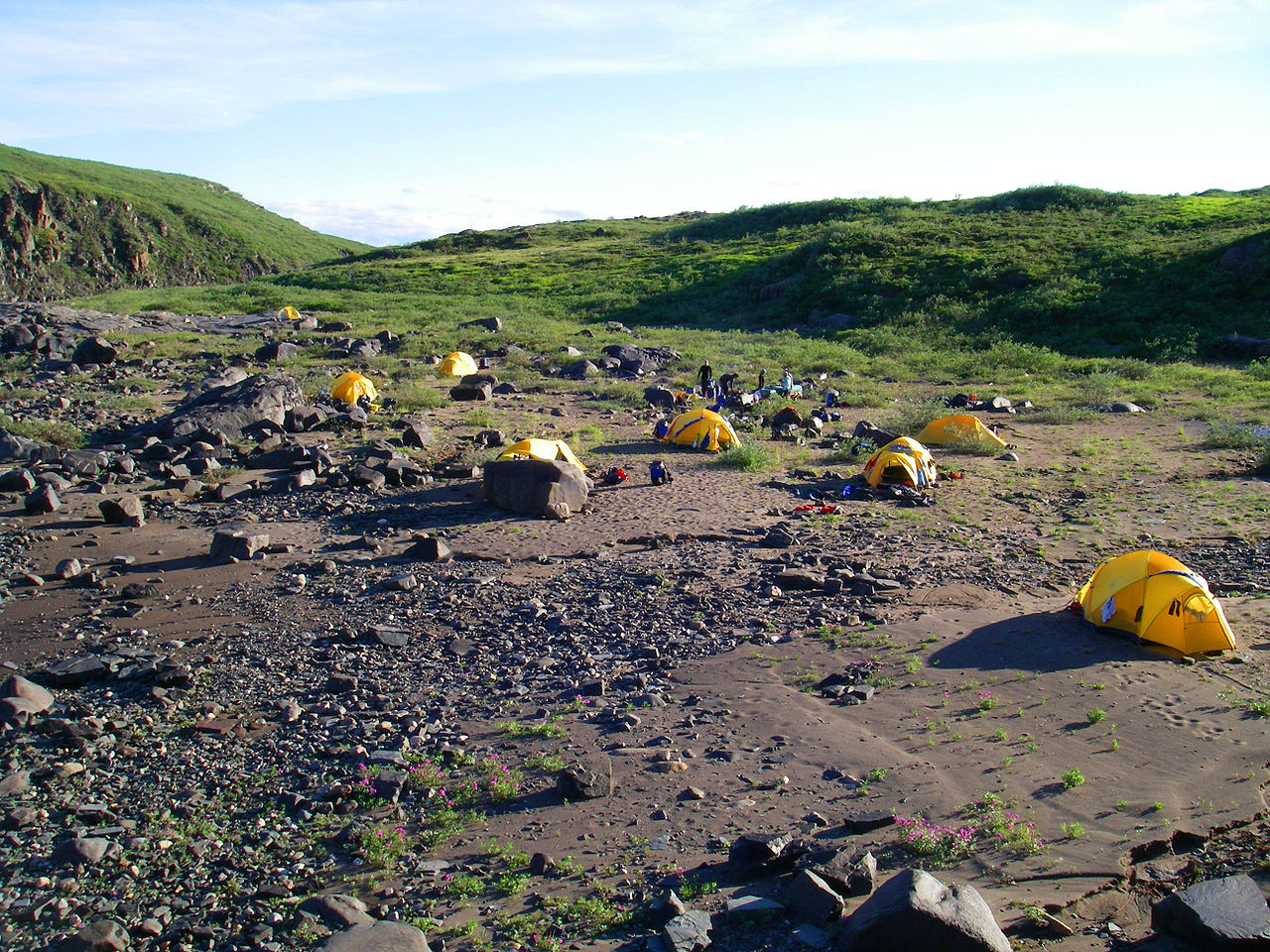
With the division of the Northwest Territories in 1999 the area is less used by the Dene than in previous times. Inuit from Kugluktuk still travel to the area to fish and hunt but the park is mainly a tourist attraction. The park can be reached by motorboat, about 45 minutes, all-terrain vehicle, about two hours or by a four to five hour walk. The park also provides a camping spot for canoeists travelling along the river and a special portage trail has been constructed. The campsite is situated just below the falls and is called "Onoagahiovik" in Inuinnaqtun. There are plans to build an information booth in the park and a "comfort station" is already in place.
Geography
The area is typical Arctic tundra and along the sides of the river are the cliffs that lead to the falls. Rocky escarpments can be found and it is possible to see the Arctic Ocean from hills within the park. The fast flowing river, normally fairly wide, is forced through the cliffs in the park and create the falls before spreading out again.
Fauna
In addition to herds of caribou, a visitor to the park may observe grizzly bears and wolverines. Bird species such as the golden eagle, rough-legged hawk, peregrine falcon, gyrfalcon, and swallows may be observed in the park. The last are found in large numbers and nest in the cliffs around the falls.
Flora
Although the park falls north of the tree line, stunted trees such as the dwarf willow do occur alongside the Coppermine River. The black-tipped groundsel (Senecio lugens) is also found in the park. The plant was named by John Richardson while travelling the river with John Franklin in 1821 during his first expedition. The word "lugens" is derived from the Latin word "to mourn" and is supposed to commemorate the massacre. Researchers have documented 207 vascular plant taxa in Kugluk/Bloody Falls Territorial Park.[9]
See also
References
- ^ "New Parks North - Kugluk (Bloody Falls) Park, "Newsletter 14" March 2005". Archived from the original on 2007-08-20. Retrieved 2007-02-28.
- ^ "Nunavut Parks - Kugluk/Bloody Falls Territorial Park, About the park". Archived from the original on 2007-06-12. Retrieved 2007-10-12.
- ^ "What's in a Name?" (PDF). Kitikmeot Heritage Society. Archived from the original (PDF) on January 13, 2012.
- ^ Bloody Falls National Historic Site of Canada
- ^ Youth Links - The Story of Bloody Falls Archived 2007-09-29 at the Wayback Machine Short article written by three Kugluktuk students.
- ^ Bathurst Caribou - Government of the NWT
- ^ Nadlok and the Origin of the Copper Inuit at Civilization.ca
- ^ New Parks North "Newsletter 15" March 2006
- ^ Saarela, Jeffery; Sokoloff, Paul; Bull, Roger. "Vascular plant biodiversity of the lower Coppermine River valley and vicinity (Nunavut, Canada): an annotated checklist of an Arctic flora". PeerJ. 5: 5:e2835. doi:10.7717/peerj.2835. PMC 5300018. PMID 28194307.
External links
- Nunavut Parks - Kugluk (Bloody Falls)
67°44′24″N 115°22′12″W / 67.74000°N 115.37000°W / 67.74000; -115.37000 (Kugluk/Bloody Falls Territorial Park)
| |||||||||
| |||||||||
| |||||||||
| |||||||||