Kakshaal Too
| Kakshaal Too | |
|---|---|
| Кокшаал Тоо | |
 | |
| Highest point | |
| Peak | Jengish Chokusu |
| Elevation | 7,439 m (24,406 ft) |
| Coordinates | 41°40′12″N 79°00′00″E / 41.67000°N 79.00000°E / 41.67000; 79.00000 |
| Dimensions | |
| Length | 582 km (362 mi) E–W |
| Width | 54 km (34 mi) N–S |
| Naming | |
| Etymology | in Kyrgyz, "Какшаал" meaning wild, severe, and "Тоо", meaning mountains |
| Native name | Какшаал Тоо (Kyrgyz) |
| Geography | |
 Kakshaal Too | |
| Countries | Kyrgyzstan and China |
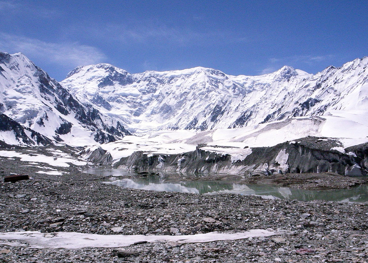
The Kakshaal Too (Kyrgyz: Какшаал Тоо, Qaqşaal Too, قاقشاال توو) is a large mountain range in the Central Tien-Shan. It stretches for a length of 582 kilometres (362 mi) (in Kyrgyzstan) between Kyrgyzstan and China. The width of the range is 54 kilometres (34 mi) and the highest point – Jengish Chokusu (7,439 metres (24,406 ft)). The landscapes include high-altitude steppes (2800 – 3100 m), Alpine meadows (3100 – 3500 m), high-altitude tundra steppes (3400 – 3800 m), and glacial-nival belt (above 3800 m). The range is mainly composed of limestones, siltstones, sandstones, conglomerates, and argillites of Paleozoic intruded by granites, granosyenite, and syenite.[1]
References
- ^ Иссык-Куль. Нарын:Энциклопедия [Encyclopedia of Issyk-Kul and Naryn Oblasts] (in Russian). Bishkek: Chief Editorial Board of Kyrgyz Soviet Encyclopedia. 1994. p. 512. ISBN 5-89750-009-6.
This Kyrgyzstan location article is a stub. You can help Wikipedia by expanding it. |