Illinois Waterway
| Illinois Waterway | |
|---|---|
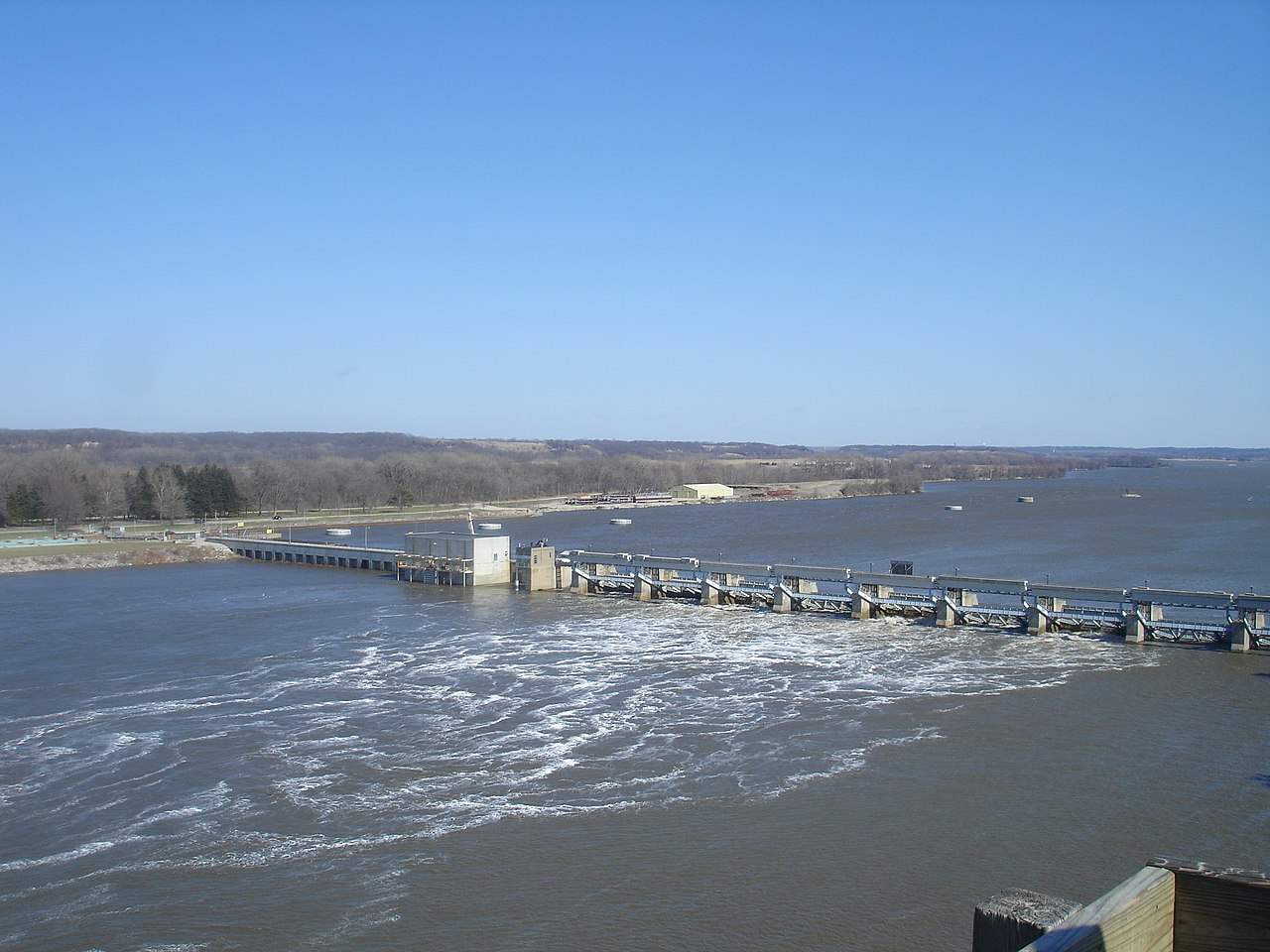 The Illinois Waterway at Starved Rock Lock and Dam | |
 Historical map of the I&M Canal. While later construction would create the Illinois Waterway, it generally follows a similar route as shown in the inset. | |
| Location | Northern / Central Illinois |
| Country | United States |
| Specifications | |
| Length | 336 miles (541 km) |
| Maximum boat draft | 9 feet (2.7 m) |
| Locks | 8 |
| Total rise | 158 feet (48 m) |
| Status | Open |
| Navigation authority | U.S. Army Corps of Engineers |
| Geography | |
| Start point | Lake Michigan |
| End point | Mississippi River |
| Connects to | Great Lakes Waterway |
The Illinois Waterway system consists of 336 miles (541 km) of navigable water from the mouth of the Calumet River at Chicago to the mouth of the Illinois River at Grafton, Illinois. Based primarily on the Illinois River, it is a system of rivers, lakes, and canals that provide a shipping connection from the Great Lakes to the Gulf of Mexico via the Illinois and Mississippi rivers.
The Illinois and Michigan Canal (I&M) opened in 1848. In 1900, the Chicago Sanitary and Ship Canal replaced the I&M and reversed the flow of the Chicago River so it no longer flowed into Lake Michigan. The United States Army Corps of Engineers maintains a 9-foot-deep (2.7 m) navigation channel in the waterway.[1] The waterway's complex northern section is referred to in various contexts for study and management as the Chicago Area Waterway System (CAWS).
Cargoes include bulk commodities, such as coal, chemicals, and petroleum, as well as corn, soybeans and other agricultural products. During some winters, ice floes, especially around the locks and dams, occasionally prevent navigation on the Waterway.
Locks and dams

A series of eight locks, managed by the Army Corps of Engineers, controls water flow from Lake Michigan to the Mississippi River system. The upper lock, T.J. O'Brien, is 7 miles from Lake Michigan on the Calumet River and the last lock is 90 miles (140 km) upstream from the Mississippi River at the LaGrange lock and dam.
The amount of water released into the Illinois often is a sore point among lake and river interests. When Lake Michigan water levels are high, lake interests want to increase the flow, and when lake levels are low, they want to restrict the flow. That is why an international treaty regulates the flow, as Canada also has an interest in Lake Michigan levels, which eventually flow into Lakes Huron, Erie and Ontario.
| Lock/Dam Name | Location | River Miles Above Mississippi |
Pool Level[2] (above sea level) |
Vertical Drop[2] | Geo Coordinates |
|---|---|---|---|---|---|
| T.J. O’Brien L&D | Chicago | 326 | 579.5 feet (177 m) | 1.5 feet (0.46 m) | 41°39′7.45″N 87°34′1.24″W / 41.6520694°N 87.5670111°W / 41.6520694; -87.5670111 (T.J. O'Brien Lock and Dam) |
| Lockport L&D | Lockport | 291 | 578 feet (176 m) | 39 feet (12 m) | 41°34′8.61″N 88°4′39.29″W / 41.5690583°N 88.0775806°W / 41.5690583; -88.0775806 (Lockport Lock and Dam) |
| Brandon Road L&D | Joliet | 286 | 539 feet (164 m) | 34 feet (10 m) | 41°30′12.12″N 88°6′11.04″W / 41.5033667°N 88.1030667°W / 41.5033667; -88.1030667 (Brandon Road Lock and Dam) |
| Dresden Island L&D | Morris | 271 | 505 feet (154 m) | 21.75 feet (6.63 m) | 41°23′52.66″N 88°16′56.42″W / 41.3979611°N 88.2823389°W / 41.3979611; -88.2823389 (Dresden Island Lock and Dam) |
| Marseilles L&D | Marseilles | 245 | 483 feet (147 m) | 24.25 feet (7.39 m) | 41°19′39.77″N 88°45′4.5″W / 41.3277139°N 88.751250°W / 41.3277139; -88.751250 (Marseille Lock and Dam) |
| Starved Rock L&D | North Utica | 231 | 458 feet (140 m) | 18.7 feet (5.7 m) | 41°19′27.93″N 88°59′10.82″W / 41.3244250°N 88.9863389°W / 41.3244250; -88.9863389 (Starved Rock Lock and Dam) |
| Peoria L&D | Peoria | 157 | 440 feet (134 m) | 10 feet (3.0 m) | 40°37′54.84″N 89°37′29.52″W / 40.6319000°N 89.6248667°W / 40.6319000; -89.6248667 (Peoria Lock and Dam) |
| La Grange L&D | Beardstown | 80 | 430 feet (131 m) | 10 feet (3.0 m) | 39°56′21.21″N 90°32′0.69″W / 39.9392250°N 90.5335250°W / 39.9392250; -90.5335250 (La Grange Lock and Dam) |
Schematic
The schematic below illustrates the drop of the Illinois Waterway from 578 feet (176 m) (mean) above sea level at Lake Michigan to 419 feet (128 m) (mean) at the Mississippi River at Grafton, Illinois. The eight locks and dams (L&D) on the waterway provide the lift for traffic along the waterway.

References
- ^ United States Army Corps of Engineers. "Chapter 6. The Illinois Waterway Archived 2011-07-09 at the Wayback Machine". page 3. June 3, 2005. (Dead link)
- ^ a b "Illinois Waterway Map & Profile" (PDF). Rock Island District, U.S. Army Corps of Engineers. U.S. Army Corps of Engineers. Retrieved 13 February 2023.
- US Army Corps of Engineers Illinois Waterway Fact Sheet (Dead link)
Further reading
- Hay, Jerry (2009). Illinois Waterway Guidebook, 1st Edition, ISBN 978-1-60743-856-4
External links
- U.S. Army Corps of Engineers - Illinois Waterway (Official site)
- Historic American Engineering Record (HAER) No. IL-164, "Illinois Waterway"