Hunterville
Hunterville | |
|---|---|
 Monument paying tribute to Huntaway dogs at Hunterville | |
 | |
| Coordinates: 39°56′S 175°34′E / 39.933°S 175.567°E / -39.933; 175.567 | |
| Country | New Zealand |
| Region | Manawatū-Whanganui |
| District | Rangitikei District |
| Wards |
|
| Electorates | |
| Government | |
| • Territorial Authority | Rangitikei District Council |
| • Regional council | Horizons Regional Council |
| Area [1] | |
| • Total | 3.22 km2 (1.24 sq mi) |
| Population (June 2023)[2] | |
| • Total | 420 |
| • Density | 130/km2 (340/sq mi) |
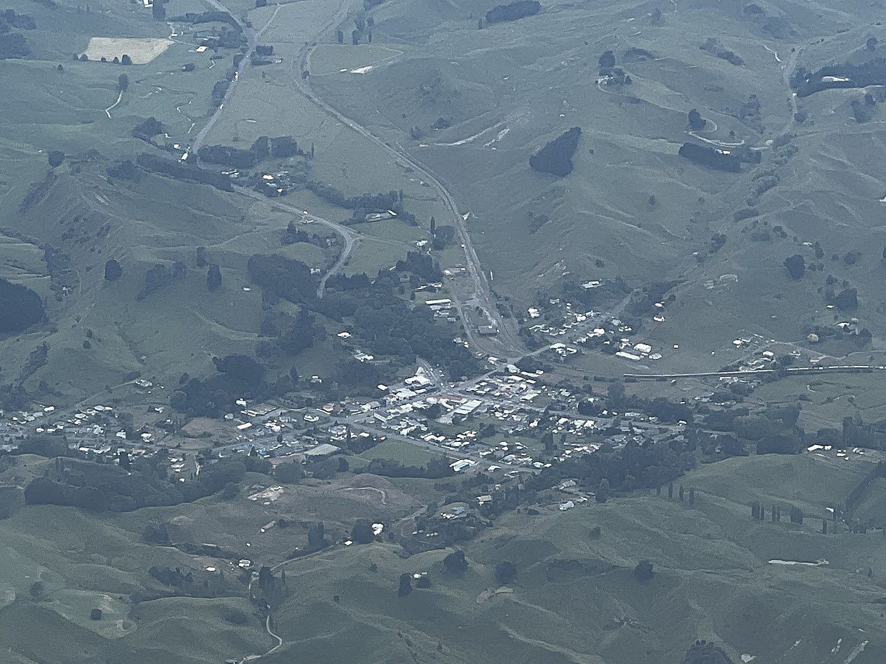
Hunterville is a small town in the Rangitikei district of the North Island of New Zealand. It is located halfway between Taupo and Wellington on State Highway 1, and as of the 2018 census has a population of 408.[3]
The township was named for George Hunter, who was a member of the Wellington Provincial Council.[4] It straddles the state highway as well as the main trunk railway in the foothills forming the gateway to the Central Plateau.
Kiwiburn, the New Zealand Burning Man regional burn, has been held there since 2014.
The Hunterville railway station on the North Island Main Trunk line opened in 1887 and closed in 1988.
The closest airport or airfield to Hunterville is RNZAF Base Ohakea, an important Royal New Zealand Air Force base, which is sited 33 km to the south west. 6 km north of Hunterville is Vinegar Hill.
Hunterville is well known for its statue of the huntaway, a specialised herding dog that uses its voice to drive the sheep. The town festival and market held on the first Saturday after Labour Day has a "Shepherds Shemozzle" – a race with man and dog with shepherds travelling from all over New Zealand to compete for the top prize.[5]
There are marae south of the town at Rātā, which are affiliated with Ngāti Hauiti hapū. Tāhuhu Marae (or Taahuhu Marae) and Te Ruku a Te Kawau meeting house is a meeting place for Ngāti Haukaha. Rātā or Te Hou Hou or Potaka Marae and Hauiti meeting house are affiliated with Ngāti Ruaanga and Ngāti Tamateraka.[6][7]
From at least 1895[8] to 1948 the Hunterville Express was published in the town.[9] It was one of 45 newspapers founded by Joseph Ives.[10] Other editors were Cuthbert James Powell,[11][12] Walter Keay,[13] who was also a novelist[14] and whose wife had earlier signed a suffrage petition in 1893, when women first gained a vote.[15] In 1905 it was the Hunterville Express and Upper Rangitikei Advertiser, published 3 times a week.[16] The Express offices were burnt out in 1917.[17]
Demographics
Hunterville is defined by Statistics New Zealand as a rural settlement. It covers 3.22 km2 (1.24 sq mi)[1] and had an estimated population of 420 as of June 2023,[2] with a population density of 130 people per km2. It is part of the larger Otairi statistical area.
| Year | Pop. | ±% p.a. |
|---|---|---|
| 2006 | 444 | — |
| 2013 | 432 | −0.39% |
| 2018 | 408 | −1.14% |
| Source: [3] | ||
.jpg)
.jpg/1280px-Hunterville_Courthouse_(5657442748).jpg)
Hunterville had a population of 408 at the 2018 New Zealand census, a decrease of 24 people (−5.6%) since the 2013 census, and a decrease of 36 people (−8.1%) since the 2006 census. There were 183 households, comprising 213 males and 201 females, giving a sex ratio of 1.06 males per female, with 75 people (18.4%) aged under 15 years, 60 (14.7%) aged 15 to 29, 165 (40.4%) aged 30 to 64, and 108 (26.5%) aged 65 or older.
Ethnicities were 83.1% European/Pākehā, 21.3% Māori, 2.9% Asian, and 5.1% other ethnicities. People may identify with more than one ethnicity.
Although some people chose not to answer the census's question about religious affiliation, 55.9% had no religion, 30.9% were Christian, 0.7% had Māori religious beliefs and 1.5% had other religions.
Of those at least 15 years old, 36 (10.8%) people had a bachelor's or higher degree, and 84 (25.2%) people had no formal qualifications. 21 people (6.3%) earned over $70,000 compared to 17.2% nationally. The employment status of those at least 15 was that 132 (39.6%) people were employed full-time, 63 (18.9%) were part-time, and 18 (5.4%) were unemployed.[3]
Otairi statistical area
Otairi covers 636.76 km2 (245.85 sq mi)[1] and had an estimated population of 1,340 as of June 2023,[18] with a population density of 2.1 people per km2.
| Year | Pop. | ±% p.a. |
|---|---|---|
| 2006 | 1,287 | — |
| 2013 | 1,227 | −0.68% |
| 2018 | 1,272 | +0.72% |
| Source: [19] | ||
Otairi had a population of 1,272 at the 2018 New Zealand census, an increase of 45 people (3.7%) since the 2013 census, and a decrease of 15 people (−1.2%) since the 2006 census. There were 510 households, comprising 654 males and 618 females, giving a sex ratio of 1.06 males per female. The median age was 43.0 years (compared with 37.4 years nationally), with 252 people (19.8%) aged under 15 years, 213 (16.7%) aged 15 to 29, 555 (43.6%) aged 30 to 64, and 249 (19.6%) aged 65 or older.
Ethnicities were 86.6% European/Pākehā, 19.1% Māori, 0.9% Pacific peoples, 1.9% Asian, and 3.3% other ethnicities. People may identify with more than one ethnicity.
The percentage of people born overseas was 10.4, compared with 27.1% nationally.
Although some people chose not to answer the census's question about religious affiliation, 51.9% had no religion, 37.7% were Christian, 1.2% had Māori religious beliefs and 1.4% had other religions.
Of those at least 15 years old, 150 (14.7%) people had a bachelor's or higher degree, and 231 (22.6%) people had no formal qualifications. The median income was $26,900, compared with $31,800 nationally. 126 people (12.4%) earned over $70,000 compared to 17.2% nationally. The employment status of those at least 15 was that 525 (51.5%) people were employed full-time, 180 (17.6%) were part-time, and 27 (2.6%) were unemployed.[19]
Education
Hunterville Consolidated School is a co-educational state primary school for Year 1 to 8 students,[20][21] with a roll of 104 as of February 2024.[22]
Notable people
- William Meldrum (1865–1964), solicitor in Hunterville and chairman of the Hunterville Town Board prior to WWI.[23]
- Hadleigh Parkes (born 1987), professional Rugby Player, played for Super Rugby teams, Blues (Captain), Kings, and Hurricanes. Plays for Welsh regional team Scarlets (2014–) and was selected for the Welsh Test team in 2017.[citation needed]
References
- ^ a b c "ArcGIS Web Application". statsnz.maps.arcgis.com. Retrieved 10 April 2021.
- ^ a b "Subnational population estimates (RC, SA2), by age and sex, at 30 June 1996-2023 (2023 boundaries)". Statistics New Zealand. Retrieved 25 October 2023. (regional councils); "Subnational population estimates (TA, SA2), by age and sex, at 30 June 1996-2023 (2023 boundaries)". Statistics New Zealand. Retrieved 25 October 2023. (territorial authorities); "Subnational population estimates (urban rural), by age and sex, at 30 June 1996-2023 (2023 boundaries)". Statistics New Zealand. Retrieved 25 October 2023. (urban areas)
- ^ a b c "Statistical area 1 dataset for 2018 Census". Statistics New Zealand. March 2020. 7017965–7017967.
- ^ Discover New Zealand - A Wises Guide (9 ed.). Wises Publications Limited. 1994. p. 230.
- ^ "Hunterville's 'Shepherds' Shemozzle'". Radio.co.nz. 2 November 2015. Retrieved 30 June 2016.
- ^ "Te Kāhui Māngai directory". tkm.govt.nz. Te Puni Kōkiri.
- ^ "Māori Maps". maorimaps.com. Te Potiki National Trust.
- ^ "OUR EDUCATION SYSTEM. POVERTY BAY HERALD". paperspast.natlib.govt.nz. 9 January 1895. Retrieved 22 August 2021.
- ^ "OTAGO DAILY TIMES". paperspast.natlib.govt.nz. 17 August 1948. Retrieved 22 August 2021.
- ^ "OBITUARY. ASHBURTON GUARDIAN". paperspast.natlib.govt.nz. 6 September 1919. Retrieved 22 August 2021.
- ^ "PERSONAL PARAGRAPHS. MANAWATU TIMES". paperspast.natlib.govt.nz. 16 August 1921. Retrieved 22 August 2021.
- ^ "OBITUARY. MANAWATU HERALD". paperspast.natlib.govt.nz. 9 February 1935. Retrieved 22 August 2021.
- ^ "OBITUARY. OTAGO DAILY TIMES". paperspast.natlib.govt.nz. 15 November 1945. Retrieved 22 August 2021.
- ^ "Reed Gallery". www.reedgallery.co.nz. Retrieved 22 August 2021.
- ^ "Mrs Keay". nzhistory.govt.nz. Retrieved 22 August 2021.
- ^ "New Zealand Official Yearbook 1905".
- ^ "RANGITIKEI ADVOCATE AND MANAWATU ARGUS". paperspast.natlib.govt.nz. 11 August 1917. Retrieved 22 August 2021.
- ^ "Population estimate tables - NZ.Stat". Statistics New Zealand. Retrieved 25 October 2023.
- ^ a b "Statistical area 1 dataset for 2018 Census". Statistics New Zealand. March 2020. Otairi (226400). 2018 Census place summary: Otairi
- ^ "Official School Website". hunterville.school.nz.
- ^ "Ministry of Education School Profile". educationcounts.govt.nz. Ministry of Education.
- ^ "Education Review Office Report". ero.govt.nz. Education Review Office.
- ^ Grover, Ray. "William Meldrum". Dictionary of New Zealand Biography. Ministry for Culture and Heritage. Retrieved 1 December 2011.