Historical atlas
This article needs additional citations for verification. (January 2024) |


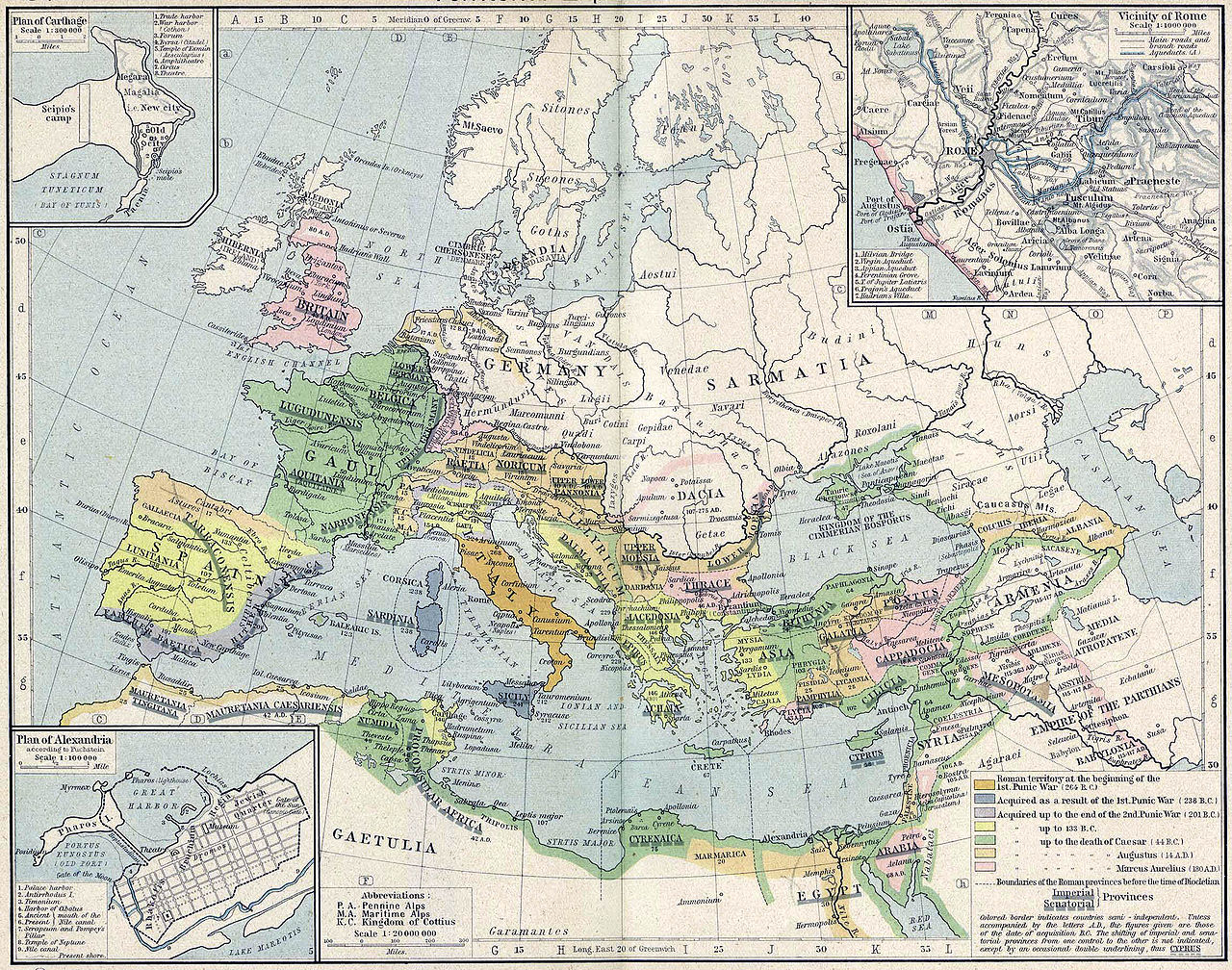
A historical atlas is a collection of maps and possibly illustrations that depict the historical geography of a particular region at a defined time period. These atlases typically include maps that show the political and cultural boundaries of different states as well as other data, and in some cases illustrations that provide information about important historical events and figures. They may also include timelines, charts, and other information to help readers understand the historical context of the maps. Historical atlases are used by scholars, students, and general readers to study and learn about the past.
Some try to present the entire history of the world, such as the Historical Atlas of the World, while others are more specialised, for only one time period or location, such as the Historical Atlas of the American West or The Historical Atlas of China.
The first known historical atlas may have been the Parergon by Abraham Ortelius in 1579, which was a supplement to the Theatrum Orbis Terrarum. William R. Shepherd produced a well-known historical atlas in 1911.[1]
The first published historical atlas in systematically chronological order was the 1651 six-map atlas La Terre sainte en six cartes géographiques, covering the historical cartography of Palestine. The six maps covered land of Canaan and the Exodus, the Promised Land, Solomon's kingdom, the land of the Jews at the time of Christ, the Christian Patriarchate of Jerusalem, and the modern region.[2][3]
See also
References
- ^ "Historical Atlas by William R. Shepherd - Perry-Castañeda Map Collection - UT Library Online". legacy.lib.utexas.edu.
- ^ Goffart, W. (2011). Historical Atlases: The First Three Hundred Years, 1570-1870. University of Chicago Press. pp. 108–110. ISBN 978-0-226-30072-6.
La Ruë was a Holy Land specialist associated with the mapmaking enterprise of Nicolas Sanson, patriarch of French cartography. Hardly anything is known of La Ruë. His small atlas, La Terre sainte en six cartes géographiques (Paris, 1651), is the first collection of maps laid out "from the origins to the present," in a systematically chronological order. This sequence, now commonplace, was so far from customary in La Ruë's time that no one imitated it for about fifty years.
- ^ HOFMANN, Catherine (2000). "LA GENÈSE DE L'ATLAS HISTORIQUE EN FRANCE (1630-1800): POUVOIRS ET LIMITES DE LA CARTE COMME « ŒIL DE L'HISTOIRE »". Bibliothèque de l'École des chartes. 158 (1). Librairie Droz: 97–128. doi:10.3406/bec.2000.451018. ISSN 0373-6237. JSTOR 42957734. Retrieved 2024-01-28.
External links
Individual digitised historical atlases
- F. W. Putzgers Historischer Schul-Atlas, Ausgabe von 1905
- F. W. Putzgers Historischer Schul-Atlas, Ausgabe von 1914
- Richard Andree: Professor G. Droysens Allgemeiner Historischer Handatlas, 1886
- R. Lane Poole: Historical Atlas of Modern Europe, 1900
- Geschichtlicher Atlas von Hessen
- Historischer Atlas von Sachsen (1815)
- Maps from the 'Imperial Gazetteer of India' (ein Angebot der 'Digital South Asia Library')
- Joseph E. Schwartzberg, A Historical Atlas of South Asia, second impression.
- Geschichtskarten zum Islam
- Digitalisierungsprojekt Wilhelmshöher Kriegskarten
Digital only projects
- Omniatlas - Interactive Atlas of World History
- Running Reality - any day in history
- Centennia Historical Atlas
- Some animated maps
- Digital historical maps from the Institut für Europäische Geschichte, Mainz, Germany
Other
- Maps and History. Constructing Images of the Past