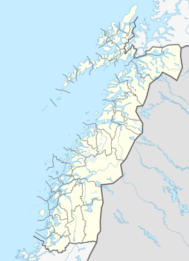
Hamarøyskaftet
| Hamarøyskaftet | |
|---|---|
 | |
| Highest point | |
| Elevation | 612 m (2,008 ft) |
| Coordinates | 68°04′50″N 15°24′19″E / 68.0806°N 15.4052°E / 68.0806; 15.4052[1] |
| Geography | |
| Location | Nordland, Norway |
| Climbing | |
| First ascent | 1885: Martin Hoff Ekroll |
Hamarøyskaftet is a mountain in Hamarøy Municipality in Nordland county, Norway. The 612-metre (2,008 ft) mountain is a characteristic landmark of the region. It is located about 10 kilometres (6.2 mi) west of the villages of Oppeid and Presteid and about 7 kilometres (4.3 mi) north of the village of Skutvika. The mountain was first ascended by Martin Hoff Ekroll in 1885.[2]
The normal route to the peak is described as technically easy, with some exposed parts.[3]
In 1998, Hamarøyskaftet was featured on a Norwegian postage stamp (NK 1333 with a value of 5.50 kr).[4]
References
- ^ "Hamarøyskaftet, Hamarøy (Nordland)" (in Norwegian). yr.no. Retrieved 2019-01-19.
- ^ Askheim, Svein; Thorsnæs, Geir. "Hamarøyskaftet". In Godal, Anne Marit (ed.). Store norske leksikon (in Norwegian). Oslo: Norsk nettleksikon. Retrieved 13 August 2016.
- ^ "Hamarøyskaftet". utpaatur.net. Retrieved 13 August 2016.
- ^ Hvem Hva Hvor 1999 (in Norwegian). Oslo: Schibsted. 1998. pp. 160–163. ISBN 82-516-1708-1.

