Habahe County
This article needs additional citations for verification. (August 2021) |
Habahe County
Kaba, Khabakhe | |
|---|---|
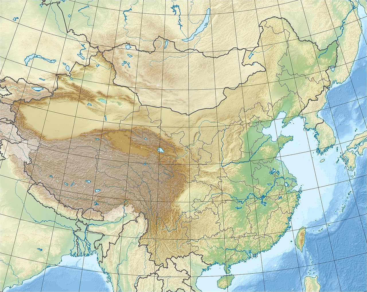
.png) Location of Habahe County (red) within Altay Prefecture (yellow) and Xinjiang | |
| Coordinates (Habahe County government): 48°03′39″N 86°25′07″E / 48.0608°N 86.4186°E / 48.0608; 86.4186 | |
| Country | China |
| Autonomous region | Xinjiang |
| Prefecture | Altay |
| County seat | Aqchi |
| Area | |
| • Total | 8,180.57 km2 (3,158.54 sq mi) |
| Population (2020)[1] | |
| • Total | 82,524 |
| • Density | 10/km2 (26/sq mi) |
| Time zone | UTC+8 (China Standard[a]) |
| Website | www.hbh.gov.cn |


| Habahe County | |||||||||||
|---|---|---|---|---|---|---|---|---|---|---|---|
| Chinese name | |||||||||||
| Simplified Chinese | 哈巴河县 | ||||||||||
| Traditional Chinese | 哈巴河縣 | ||||||||||
| |||||||||||
| Alternative Chinese name | |||||||||||
| Simplified Chinese | 哈巴县 | ||||||||||
| Traditional Chinese | 哈巴縣 | ||||||||||
| |||||||||||
| Uyghur name | |||||||||||
| Uyghur | قابا ناھىيىسى | ||||||||||
| |||||||||||
| Kazakh name | |||||||||||
| Kazakh | قابا اۋدانى
Kazakh Cyrillic: Қаба ауданы Kazakh Latin alphabet: Qaba aýdany | ||||||||||

Habahe County (Chinese: 哈巴河县) as the official romanized name, also transliterated from Uyghur as Kaba County (Uyghur: قابا ناھىيىسى; Chinese: 哈巴县), is a county situated in the far north of the Xinjiang Uyghur Autonomous Region and is under the administration of the Altay Prefecture. It has an area of 8,179 km2 (3,158 sq mi) with a population of 80,000. The Postcode is 836700.
Administrative divisions
Habahe County is divided into 4 towns and 3 townships.[2]
| Name | Simplified Chinese | Hanyu Pinyin | Uyghur (UEY) | Uyghur Latin (ULY) | Kazakh (Arabic script) | Kazakh (Cyrillic script) | Administrative division code | |
|---|---|---|---|---|---|---|---|---|
| Towns | ||||||||
| Aqchi Town | 阿克齐镇 | Ākèqí Zhèn | ئاقچى بازىرى | Aqchi baziri | اقشي قالاشىعى | 654324100 | ||
| Sarbulaq Town | 萨尔布拉克镇 | Sà'ěrbùlākè Zhèn | ساربۇلاق بازىرى | sarbulaq baziri | ساربۇلاق قالاشىعى | 654324101 | ||
| Chibar Town | 齐巴尔镇 | Qíbā'ěr Zhèn | چىبار بازىرى | chibar baziri | شىبار قالاشىعى | 654324102 | ||
| Kölbay Town | 库勒拜镇 | Kùlèbài Zhèn | كۆلباي بازىرى | kölbay baziri | كولباي قالاشىعى | 654324103 | ||
| Townships | ||||||||
| Sartam Township | 萨尔塔木乡 | Sà'ěrtǎmù Xiāng | سارتام يېزىسى | sartam yëzisi | سارتام اۋىلى | 654324200 | ||
| Jayilma Township | 加依勒玛乡 | Jiāyīlèmǎ Xiāng | جايىلما يېزىسى | jayilma yëzisi | جايىلما اۋىلى | 654324201 | ||
| Tërëkti Township | 铁热克提乡 | Tiěrèkètí Xiāng | تېرېكتى يېزىسى | tërëkti yëzisi | تەرەكتى اۋىلى | 654324204 | ||
Others:
- XPCC 185th Regiment Farm (兵团一八五团)
Demographics
Climate
| Climate data for Habahe (1991–2020 normals, extremes 1981–2010) | |||||||||||||
|---|---|---|---|---|---|---|---|---|---|---|---|---|---|
| Month | Jan | Feb | Mar | Apr | May | Jun | Jul | Aug | Sep | Oct | Nov | Dec | Year |
| Record high °C (°F) | 5.9 (42.6) |
5.8 (42.4) |
23.6 (74.5) |
31.2 (88.2) |
35.2 (95.4) |
37.9 (100.2) |
39.3 (102.7) |
39.5 (103.1) |
35.2 (95.4) |
27.0 (80.6) |
16.1 (61.0) |
6.7 (44.1) |
39.5 (103.1) |
| Mean daily maximum °C (°F) | −10.5 (13.1) |
−6.7 (19.9) |
2.5 (36.5) |
15.8 (60.4) |
22.9 (73.2) |
28.0 (82.4) |
29.6 (85.3) |
28.1 (82.6) |
21.6 (70.9) |
12.8 (55.0) |
1.0 (33.8) |
−7.8 (18.0) |
11.4 (52.6) |
| Daily mean °C (°F) | −14.4 (6.1) |
−11.2 (11.8) |
−2.9 (26.8) |
8.9 (48.0) |
15.7 (60.3) |
21.0 (69.8) |
22.6 (72.7) |
20.9 (69.6) |
14.6 (58.3) |
7.0 (44.6) |
−3.0 (26.6) |
−11.2 (11.8) |
5.7 (42.2) |
| Mean daily minimum °C (°F) | −17.7 (0.1) |
−15.0 (5.0) |
−7.3 (18.9) |
3.0 (37.4) |
9.0 (48.2) |
14.4 (57.9) |
16.4 (61.5) |
14.5 (58.1) |
8.7 (47.7) |
2.5 (36.5) |
−6.3 (20.7) |
−14.2 (6.4) |
0.7 (33.2) |
| Record low °C (°F) | −38.0 (−36.4) |
−34.4 (−29.9) |
−30.0 (−22.0) |
−14.7 (5.5) |
−3.1 (26.4) |
2.9 (37.2) |
8.1 (46.6) |
4.2 (39.6) |
−3.8 (25.2) |
−16.7 (1.9) |
−37.8 (−36.0) |
−37.1 (−34.8) |
−38.0 (−36.4) |
| Average precipitation mm (inches) | 10.9 (0.43) |
9.7 (0.38) |
15.3 (0.60) |
19.0 (0.75) |
18.4 (0.72) |
21.4 (0.84) |
26.4 (1.04) |
17.7 (0.70) |
17.1 (0.67) |
21.1 (0.83) |
26.4 (1.04) |
16.8 (0.66) |
220.2 (8.66) |
| Average precipitation days (≥ 0.1 mm) | 8.9 | 8.0 | 7.4 | 7.6 | 7.1 | 7.6 | 8.3 | 6.4 | 6.7 | 7.1 | 10.1 | 11.1 | 96.3 |
| Average snowy days | 11.2 | 10.8 | 9.3 | 2.5 | 0.2 | 0 | 0 | 0 | 0 | 2.5 | 11.1 | 14.4 | 62 |
| Average relative humidity (%) | 71 | 71 | 69 | 52 | 47 | 52 | 56 | 54 | 53 | 58 | 69 | 72 | 60 |
| Mean monthly sunshine hours | 149.0 | 174.3 | 230.2 | 270.8 | 331.0 | 335.5 | 335.3 | 320.8 | 270.5 | 203.5 | 134.8 | 122.9 | 2,878.6 |
| Percent possible sunshine | 54 | 59 | 61 | 65 | 70 | 70 | 70 | 74 | 74 | 62 | 50 | 47 | 63 |
| Source: China Meteorological Administration[4][5] | |||||||||||||
Notes
- ^ Locals in Xinjiang frequently observe UTC+6 (Xinjiang Time), 2 hours behind Beijing.
References
- ^ Xinjiang: Prefectures, Cities, Districts and Counties
- ^ 2022年统计用区划代码和城乡划分代码:哈巴河县. National Bureau of Statistics of China.
- ^ 3-7 各地、州、市、县(市)分民族人口数 [3-7 Population by Nationality by Prefecture, State, City and County (City)]. tjj.xinjiang.gov.cn (in Chinese). Statistical Bureau of Xinjiang Uyghur Autonomous Region. 2020-06-10. Archived from the original on 2020-11-01. Retrieved 2021-06-11.
- ^ 中国气象数据网 – WeatherBk Data (in Simplified Chinese). China Meteorological Administration. Retrieved 10 October 2023.
- ^ 中国气象数据网 (in Simplified Chinese). China Meteorological Administration. Retrieved 10 October 2023.