Cordillera Domeyko
| Cordillera Domeyko | |
|---|---|
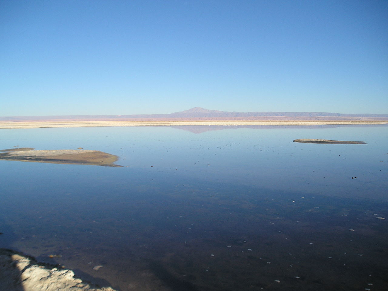 Cerro Quimal in the distance | |
| Highest point | |
| Peak | Cerro Quimal |
| Elevation | 4,278 m (14,035 ft) |
| Coordinates | 23°7′S 68°40′W / 23.117°S 68.667°W / -23.117; -68.667 |
| Dimensions | |
| Length | 600 km (370 mi) north-south |
| Geography | |
| Country | Chile |
| Range coordinates | 24°30′S 69°00′W / 24.500°S 69.000°W / -24.500; -69.000 |
| Parent range | Central Andes |

The Cordillera Domeyko is a mountain range of the Andes located in northern Chile, west of Salar de Atacama. It runs north-south for approximately 600 km,[1] parallel to the main chain. The mountain range marks the eastern border of the flat parts of Atacama Desert. The western border of Cordillera Domeyko is characterized by a inland cliffs and a sharp topographic transition known as El Bordo Escarpment.[2] El Bordo Escarpment contain the main rock outcrops of the Purilactis Group, which make up much of the mountain range.[2]
Cordillera Domeyko was named after Ignacy Domeyko and is the world's lowest humidity mountain range.[3]
References
- ^ Muñoz, N., Charrier, R. and Jordan, T. (July 2002). "Interactions between basement and cover during the evolution of the Salar de Atacama Basin, northern Chile". Revista Geológica de Chile. 29 (1): 55–80. doi:10.4067/S0716-02082002000100004.
{{cite journal}}: CS1 maint: multiple names: authors list (link) - ^ a b Mpodozis, Constantino; Arriagada, César; Roperch, Pierrick (1999-10-06). Cretaceous to Paleogene geology of the Salar de Atacama basin, northern Chile: A reappraisal of the Purilactis Group stratigraphy. Fourth ISAG, Goettingen. Goettingen, Germany.
- ^ ASTER's Global View from Space Archived 2008-02-22 at the Wayback Machine
External links
- Virtual Tour on 360° of Cordillera de la Sal Chilexplora.com
This Antofagasta Region location article is a stub. You can help Wikipedia by expanding it. |