Ciénaga Grande de Santa Marta
| Designations | |
|---|---|
| Official name | Sistema Delta Estuarino del Río Magdalena, Ciénaga Grande de Santa Marta |
| Designated | 18 June 1998 |
| Reference no. | 951[1] |

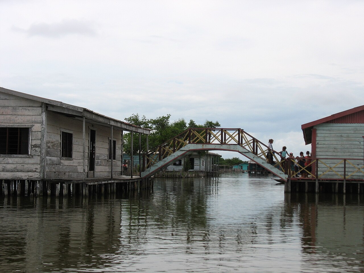
The Ciénaga Grande de Santa Marta (Spanish for Large Marsh of Saint Martha) is the largest of the swampy marshes located in Colombia between the Magdalena River and the Sierra Nevada de Santa Marta. It has an area of 4280 km2 and belongs to the outer delta system of the Madgalena River.[2] It is separated from the Caribbean Sea by a narrow, sandy artificial spit built in the 1950s,[3] on which is situated coastal route 90 from Barranquilla to Santa Marta. The marsh's large lagoon is connected to the Caribbean Sea via a narrow strait (the La Barra channel) located between the town of Pueblo Viejo and the city of Ciénaga.


References
- ^ "Sistema Delta Estuarino del Río Magdalena, Ciénaga Grande de Santa Marta". Ramsar Sites Information Service. Retrieved 25 April 2018.
- ^ "Cienaga Grande de Santa Marta - Coastal Wiki".
- ^ http://www.unesco.org/mabdb/br/brdir/directory/biores.asp?mode=all&code=COL+04 UNESCO
External links
- UNESCO Biosphere Reserve information
- (in Spanish) Colombia National Park system website
- At Coastal Wiki
10°52′N 74°25′W / 10.867°N 74.417°W / 10.867; -74.417
.svg)
Treasures of Colombia | |||||||||||||||||||||||||||||||||||||||||||||||||||||||||||||||
|---|---|---|---|---|---|---|---|---|---|---|---|---|---|---|---|---|---|---|---|---|---|---|---|---|---|---|---|---|---|---|---|---|---|---|---|---|---|---|---|---|---|---|---|---|---|---|---|---|---|---|---|---|---|---|---|---|---|---|---|---|---|---|---|
| |||||||||||||||||||||||||||||||||||||||||||||||||||||||||||||||
| |||||||||||||||||||||||||||||||||||||||||||||||||||||||||||||||
| |||||||||||||||||||||||||||||||||||||||||||||||||||||||||||||||
| |||||||||||||||||||||||||||||||||||||||||||||||||||||||||||||||
Source: Wills, Fernando; et al. (2001). Nuestro patrimonio – 100 tesoros de Colombia [Our heritage – 100 treasures of Colombia] (in Spanish). El Tiempo. pp. 1–311. ISBN 958-8089-16-6. | |||||||||||||||||||||||||||||||||||||||||||||||||||||||||||||||