Ayguatébia-Talau
You can help expand this article with text translated from the corresponding article in French. (May 2020) Click [show] for important translation instructions.
|
Ayguatébia-Talau
Aiguatèbia i Talau | |
|---|---|
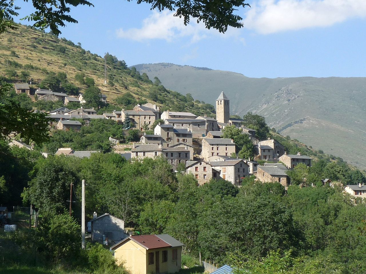 A general view of Ayguatébia-Talau | |
 Coat of arms | |
Location of Ayguatébia-Talau | |
 Ayguatébia-Talau  Ayguatébia-Talau | |
| Coordinates: 42°34′26″N 2°11′07″E / 42.5739°N 2.1853°E / 42.5739; 2.1853 | |
| Country | France |
| Region | Occitania |
| Department | Pyrénées-Orientales |
| Arrondissement | Prades |
| Canton | Les Pyrénées catalanes |
| Intercommunality | CC Pyrénées Catalanes |
| Government | |
| • Mayor (2020–2026) | Georges Vicens[1] |
| Area 1 | 29.68 km2 (11.46 sq mi) |
| Population (2021)[2] | 40 |
| • Density | 1.3/km2 (3.5/sq mi) |
| Time zone | UTC+01:00 (CET) |
| • Summer (DST) | UTC+02:00 (CEST) |
| INSEE/Postal code | 66010 /66360 |
| Elevation | 720–2,030 m (2,360–6,660 ft) (avg. 1,365 m or 4,478 ft) |
| 1 French Land Register data, which excludes lakes, ponds, glaciers > 1 km2 (0.386 sq mi or 247 acres) and river estuaries. | |
Ayguatébia-Talau (French pronunciation: [aiɡwatebja talo] ⓘ; Catalan: Aiguatèbia i Talau) is a commune in the Pyrénées-Orientales department in southern France.[3] Prior to 1983, It was known as Ayguatébia.
Geography
Location
Ayguatébia-Talau is located in the canton of Les Pyrénées catalanes and in the arrondissement of Prades.

Places adjacent to Ayguatébia-Talau | ||||||||||||||||
|---|---|---|---|---|---|---|---|---|---|---|---|---|---|---|---|---|
| ||||||||||||||||
Toponymy
- Attested forms
The name of Ayguatébia appears in 958 as Aqua tebeda, immediately followed in 959 by Aquatepida. Villa Aque tepida is used during the 11th century and Aiguetevia is found in 1392. From the 17th century and on, the common forms are Aiguetebia and Ayguatebia. The modern spelling in Catalan is Aiguatèbia, but the traditional spelling, Ayguatèbia, should be preferred.[4]
The name of Talau appears in 874 as Villa Talatio and in 876 as Talacho. Talazo, Talaz and Talaxo are used during the 10th century. Talau appears in the 13th century and is used since.[4]
- Etymology
The name of Ayguatébia comes from the Latin aqua tebeda, meaning lukewarm water, in relation with warm springs found in Ayguatébia.[4]
The name of Talau comes from a pre-Latin radical, Tal or Tala, meaning a small plateau found above a cliff or a hill, which corresponds to the situation of the village of Talau, located above the valley of the Cabrils river.[4]
History
The commune Ayguatébia-Talau was created on January 1, 1983, by uniting the former communes of Ayguatébia and Talau.[3]
Government and politics

Mayors
| Mayor | Term start | Term end |
|---|---|---|
| Lucien Mitjaville | 1983 | 2011 |
| Marc Rousset | 2011 | 2012 |
| Lucien Mitjaville | 2012 | 2014 |
| Georges Vicens | 2014 |
Population
| Year | Pop. | ±% p.a. |
|---|---|---|
| 1968 | 57 | — |
| 1975 | 35 | −6.73% |
| 1982 | 36 | +0.40% |
| 1990 | 45 | +2.83% |
| 1999 | 46 | +0.24% |
| 2007 | 45 | −0.27% |
| 2012 | 44 | −0.45% |
| 2017 | 38 | −2.89% |
| Source: INSEE[5] | ||
Architecture
- Saint-Felix and Saint-Armengol church in Ayguatébia
- Saint-Stephen church in Talau
- Saint-Michael of the Plans church
Notable people
- Saint Ermengol (?–1035) was possibly born in Ayguatébia.
See also
References
- ^ "Répertoire national des élus: les maires" (in French). data.gouv.fr, Plateforme ouverte des données publiques françaises. 13 September 2022.
- ^ "Populations légales 2021". The National Institute of Statistics and Economic Studies. 28 December 2023.
- ^ a b Commune d'Ayguatébia-Talau (66010), INSEE
- ^ a b c d (in French) Lluís Basseda, Toponymie historique de Catalunya Nord, t. 1, Prades, Revista Terra Nostra, 1990
- ^ Population en historique depuis 1968, INSEE
External links
- IGN
This Pyrénées-Orientales geographical article is a stub. You can help Wikipedia by expanding it. |