Aserrí (canton)
Aserrí | |
|---|---|
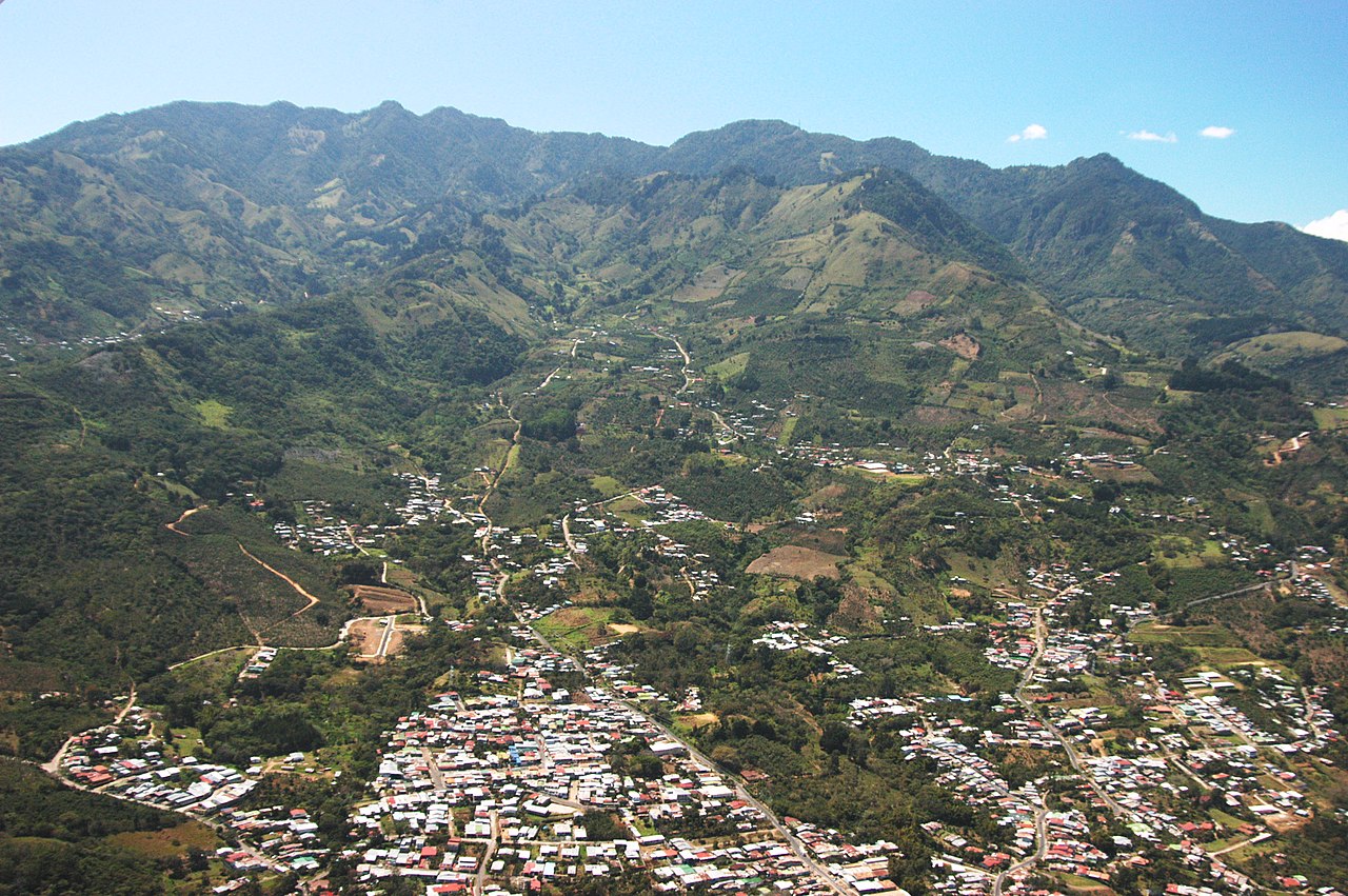 Panoramic view of Aserrí | |
 Flag  Seal | |
Aserrí canton | |
 Aserrí Aserrí canton location in San José Province  Aserrí Aserrí canton location in Costa Rica | |
| Coordinates: 9°44′54″N 84°08′33″W / 9.7483631°N 84.1423846°W / 9.7483631; -84.1423846 | |
| Country | |
| Province | San José |
| Creation | 27 November 1882[1] |
| Head city | Aserrí |
| Districts | |
| Government | |
| • Type | Municipality |
| • Body | Municipalidad de Aserrí |
| • Mayor | José Oldemar García Segura (PLN) |
| Area | |
| • Total | 167.1 km2 (64.5 sq mi) |
| Elevation | 1,373 m (4,505 ft) |
| Population (2011) | |
| • Total | 57,892 |
| • Density | 350/km2 (900/sq mi) |
| Time zone | UTC−06:00 |
| Canton code | 106 |
| Website | aserri.go.cr |
Aserrí is the sixth canton in the San José province of Costa Rica.[2][3] The head city of the canton is the homonymous Aserrí.
Geography
Aserrí has an area of 167.1 km2[4] and a mean elevation of 1,373 metres.[2]
The mountainous canton is delineated on the north by the Poás River. It encompasses a narrow strip of land that traverses the Coastal Mountain Range before reaching the lowlands of Puntarenas Province, bordering the canton of Parrita.
Districts
The canton of Aserrí is subdivided into seven districts (distritos):[5]
History
The canton was established by a decree of 27 November 1882.
Demographics
| Historical population | |||
|---|---|---|---|
| Census | Pop. | %± | |
| 1883 | 4,785 | — | |
| 1892 | 6,030 | 26.0% | |
| 1927 | 6,592 | 9.3% | |
| 1950 | 9,122 | 38.4% | |
| 1963 | 13,609 | 49.2% | |
| 1973 | 20,091 | 47.6% | |
| 1984 | 30,588 | 52.2% | |
| 2000 | 49,319 | 61.2% | |
| 2011 | 57,892 | 17.4% | |
|
Instituto Nacional de Estadística y Censos[6] |
|||
For the 2011 census, Aserrí had a population of 57,892 inhabitants.[8]
Transportation
Road transportation
The canton is covered by the following road routes:
References
- ^ Hernández, Hermógenes (1985). Costa Rica: evolución territorial y principales censos de población 1502 - 1984 (in Spanish) (1 ed.). San José: Editorial Universidad Estatal a Distancia. pp. 164–173. ISBN 9977-64-243-5. Retrieved 5 October 2020.
- ^ a b "Declara oficial para efectos administrativos, la aprobación de la División Territorial Administrativa de la República N°41548-MGP". Sistema Costarricense de Información Jurídica (in Spanish). 19 March 2019. Retrieved 26 September 2020.
- ^ División Territorial Administrativa de la República de Costa Rica (PDF) (in Spanish). Editorial Digital de la Imprenta Nacional. 8 March 2017. ISBN 978-9977-58-477-5.
- ^ "Área en kilómetros cuadrados, según provincia, cantón y distrito administrativo". Instituto Nacional de Estadística y Censos (in Spanish). Archived from the original on 24 October 2020. Retrieved 26 September 2020.
- ^ "División Territorial Administrativa de Costa Rica" (PDF) (in Spanish). Instituto de Fomento y Asesoria Municipal (IFAM). 5 May 2009. Archived from the original (PDF) on 2015-08-02.
- ^ "Instituto Nacional de Estadística y Censos" (in Spanish).
- ^ "Sistema de Consulta de a Bases de Datos Estadísticas". Centro Centroamericano de Población (in Spanish).
- ^ "Censo. 2011. Población total por zona y sexo, según provincia, cantón y distrito". Instituto Nacional de Estadística y Censos (in Spanish). Retrieved 26 September 2020.
This Costa Rican location article is a stub. You can help Wikipedia by expanding it. |