1718 Tongwei–Gansu earthquake
| Local date | June 19, 1718[1] |
|---|---|
| Magnitude | 7.5 Ms 7.5 Mw[1] |
| Epicenter | 35°00′N 105°12′E / 35.0°N 105.2°E / 35.0; 105.2[2] |
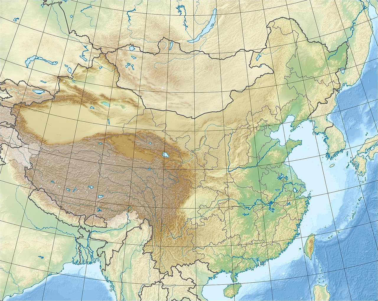
| Areas affected | Qing dynasty |
| Max. intensity | MMI X (Extreme) |
| Landslides | >300 |
| Foreshocks | Yes |
| Casualties | ≈73,000 dead |

An earthquake occurred on June 19, 1718, in Tongwei County, Gansu Province, Qing dynasty, present-day China. The estimated surface wave magnitude (Ms ) 7.5 earthquake was designated a maximum Modified Mercalli intensity of X (Extreme), causing tremendous damage and killing 73,000 people.[2]
Tectonic setting

The active plate tectonics of Gansu Province located on the Tibetan Plateau is dominated by the north–south continental collision of the Indian Plate and Eurasian Plate. As the Indian Plate collides along a convergent plate boundary known as the Main Himalayan Thrust, it being of continental crust does not subduct: rather, it ploughs into the Eurasian Plate. This process severely deforms the Eurasian Plate, uplifting the crust, forming the Tibetan Plateau. The force of the Indian Plate converging pushes the Tibetan Plateau east, towards the Sichuan Basin, forming another zone of collision. This collision and resulting crustal deformation of the Eurasian Plate is accommodated by the Xianshuihe fault system, Haiyuan Fault, Kunlun Fault, Altyn Tagh fault, and Longmenshan Fault. The presence of active faults in Gansu makes the region vulnerable to damaging earthquakes. The very deadly 2008 Sichuan earthquake occurred due to a thrust fault rupture on the Longmenshan Fault.[3] The 1920 Haiyuan and 1927 Gulang earthquakes occurred due to ruptures along the Haiyuan Fault.
Earthquake
The West Qinling Fault in the Tibetan plateau, an active left–lateral strike-slip fault, was proposed as the source of the earthquake, although there is no seismological evidence to prove this. In the centuries since the event, the fault has not produced any major earthquakes.[4] Another proposed source is the adjacent Tongwei thrust fault, although little is known about its associated seismic activity. No surface ruptures from the earthquake has been documented, suggesting it may be a buried rupture earthquake.[5]
Effects
The earthquake gained notable scientific attention due to the triggering of over 300 large landslides. Many of these slides consisted of several meters of loess and mudstone deposits along steep mountainsides near the Wei River. Three of the largest landslides in Pan'an, Tianshui, Gangu County, had a combined volume of 6.06 × 10⁸ m3.[6] Locating the distribution of landslides using Google Earth found a dense concentration of occurrence along the Tongwei Fault.[5]
Damage
All structures including government offices, schools, temples, and homes in Nanxiang were destroyed. It was reported that the only surviving structure was a portion of the brick city wall at the northeast corner of the city. Over 40,000 people were killed in the city. Another 30,000 people died in Yongning when massive landslides buried many homes in the area. Ground effects were severe; large fissures appeared and the landscape was deformed.[2] A large landslide completely buried Yongning Ancient Town during the quake.
Several mountain peaks including one at Jingning County detached and fell, damming a river, and killing several thousand. In Zhuanglang County, a large hill suffered a landslide, resulting in thousands of deaths. Many gate towers, pavilions, and battlements in Qin'an County were destroyed.[2]
In Tianshui, the earthquake collapsed Confucian Temples and homes. Ground fissures and landslides killed some residents. Smaller fatality figures were reported in other parts of Gansu Province. The earthquake also affected Shaanxi and Henan provinces.[2]
See also
References
- ^ a b "Global Historical Earthquake Archive". emidius.eu. Retrieved 6 October 2021.
- ^ a b c d e National Geophysical Data Center. "Significant Earthquake Information". Retrieved 6 October 2021.
- ^ Becky Oskin (21 April 2013). "What Caused The Deadly China Earthquake?". Live Science. Retrieved 25 September 2021.
- ^ Zhangjun Li; Feng Cheng; Ming Hao; Zachary M. Young; Shangw Song; Fan Yang; Wenquan Zhuang (2021). "Strain Transformation Adjacent to the West Qinling Orogen: Implications for the Growth of the Northeastern Tibetan Plateau". Frontiers in Earth Science. 9 (689087): 602. Bibcode:2021FrEaS...9..602L. doi:10.3389/feart.2021.689087.
- ^ a b Yueren Xu; Du Peng; Li Wenqiao; Tian Qinjian; Chen Lize (2020). "Relationship between the landslides triggered by the Tongwei M 71/2 Earthquake in 1718 AD and the disappearance of Yongning ancient town". Earthquake Research in China. 34 (4): 546–559. doi:10.19743/j.cnki.0891-4176.202004005.
- ^ Ping Sun; Rongjian Li; Hao Jiang; Ogbonnaya Igwe; Jusong Shi (2017). "Earthquake-triggered landslides by the 1718 Tongwei earthquake in Gansu Province, northwest China". Bulletin of Engineering Geology and the Environment. 76 (4): 1281–1295. Bibcode:2017BuEGE..76.1281S. doi:10.1007/s10064-016-0949-4. S2CID 132033294.